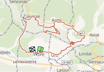

16.8 km | 24 km-effort

User


FREE GPS app for hiking
 SityTrail
IGN / Geographical institutes
SityTrail World
The world is yours!
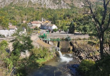
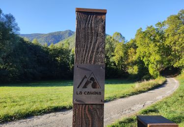
Trail Walking of 14.8 km to be discovered at Occitania, Ariège, Vèbre. This trail is proposed by chrisgps.
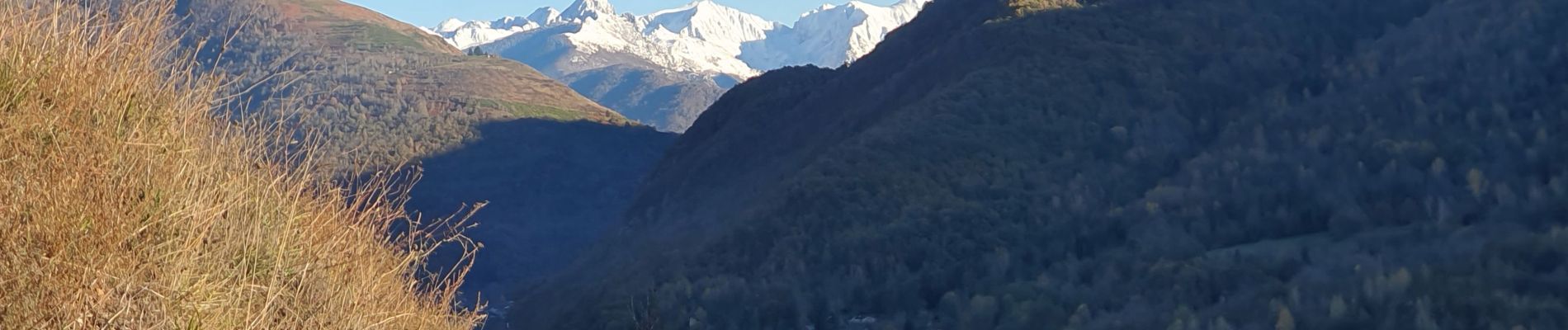
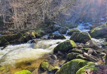
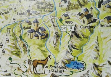
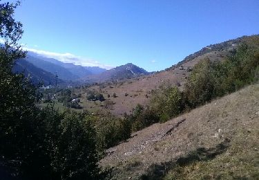
Belle boucle et beau belvédère.
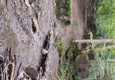
A la descente du rocher en direction de Caychax, la bifurcation a gauche devra se faire un peu plus haut sur une sente qu'on n'a pas vu = vers 960m ou km 8,5.
Dans la descente de Caychax l'embranchement vers Vébre est bien signalé : chemin de Bouicharras et évite d'aller à Albies.


Walking
Walking
Walking
Walking
Walking
Walking