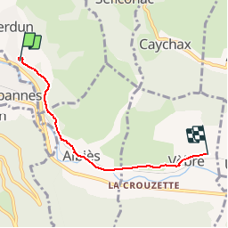

14.8 km | 25 km-effort


User


FREE GPS app for hiking
 SityTrail
IGN / Geographical institutes
SityTrail World
The world is yours!
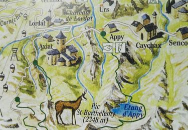
Trail Walking of 4.4 km to be discovered at Occitania, Ariège, Verdun. This trail is proposed by luccio20231.
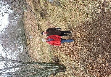
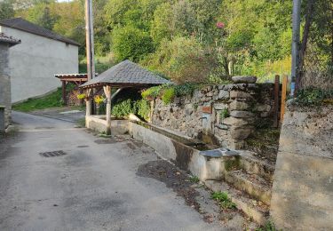
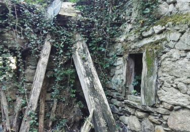
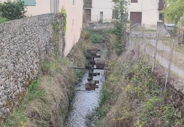
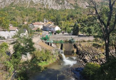
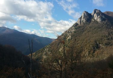
Balade en forêt, jolis murets, on longe la rivière pour arriver ensuite sur Vebre


Walking
Walking

Walking
Walking
Walking