Trail Walking Sewen - Graber Novembre 23 - Photo

Graber Novembre 23

 helmut68
helmut68

User

© OpenStreetMap contributors
Length
Length
11.1 km
Max alt
Max alt
1023 m
Uphill gradient
Uphill gradient
557 m
Km-Effort
Km-Effort  
18.5 km
Min alt
Min alt
501 m
Downhill gradient
Downhill gradient
558 m
Boucle
Boucle
Yes
Creation date :
2023-11-23 09:43:28.406
Updated on :
2023-11-23 17:40:05.437

(0 Reviews)

Walking
Walking
4h56
Difficulty : Difficult

Scan this QR Code to open this trail in the SityTrail application

FREE GPS app for hiking

Logo SityTrail SityTrail

IGN / Geographical institutes

Download SityTrail from the App Store Download SityTrail from Google Play

Logo SityTrail SityTrail World

The world is yours!

Download SityTrail from the App Store Download SityTrail from Google Play Download SityTrail on Huawei AppGallery

About

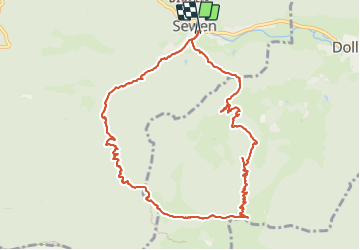
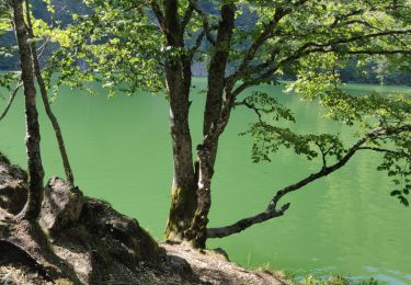
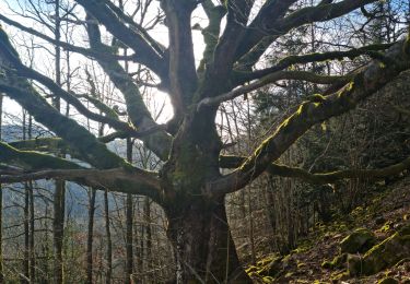
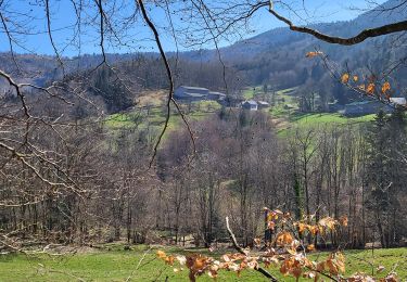
Trail Walking of 11.1 km to be discovered at Grand Est, Haut-Rhin, Sewen. This trail is proposed by helmut68.

Description

Départ de Sentheim en vélo jusqu'à Sewen en utilisant la piste cyclable , comptez environ 45 mn à une heure pour démarrer votre rando .
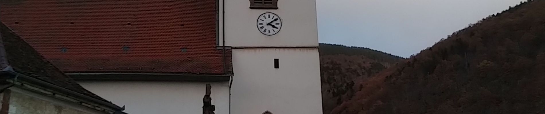
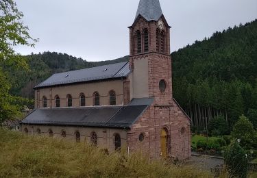
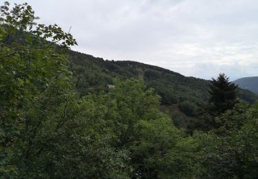
Au départ place de l'église de Sewen , utilisez le balisage " rectangle Bleu " GR531 jusqu'à l'abri du Graber Breitenstein avec ses points de vues magnifiques à découvrir ...
Pour le retour utilisez les balisages " rectangle bleu blanc bleu "  et  anneau rouge jusqu'à Sewen où votre vélo vous attend pour le retour .
Emprunte carbone ( CO2 ) : 0
Alors à vos chaussures !

Elevation profile

Photos

28 photos in total. Please click on a photo to see them all in the gallery.

Positioning

Country:
France
Region :
Grand Est
Department/Province :
Haut-Rhin
Municipality :
Sewen
Location:
Unknown
Start:(UTM)
343098 ; 5296964 (32T) N.

Trails nearby

Trail Walking Rimbach-près-Masevaux - Haute Bers - Photo
Walking
helmut68

Walking

Medium
(1)
Rimbach-près-Masevaux, Grand Est, Haut-Rhin, France
12 km | 20 km-effort
3h 25min
Yes
Trail Walking Saint-Maurice-sur-Moselle - Tour du Ballon d'Alsace - Photo
Walking
VacheKiri67

Walking

Difficult
(1)
Saint-Maurice-sur-Moselle, Grand Est, Vosges, France
10.5 km | 17.7 km-effort
5h 25min
Yes
Trail Walking Sewen - Boucle entre les lacs de Sewen et d'Alfeld - Photo
Walking
tracegps

Walking

Medium
(1)
Sewen, Grand Est, Haut-Rhin, France
8.1 km | 12.3 km-effort
2h 30min
Yes
Trail Walking Sewen - lac d'Alfeld  - Photo
Walking
klopbill

Walking

Very difficult
(1)
Sewen, Grand Est, Haut-Rhin, France
17.1 km | 28 km-effort
8h 7min
Yes
Trail Walking Kirchberg - 2022-07-15 Marche Refuge Baerenkopf Auberge Gazon Vert - Photo
Walking
GUIDE
holtzv

Walking

Very difficult
Kirchberg, Grand Est, Haut-Rhin, France
23 km | 38 km-effort
8h 21min
No
Trail Walking Masevaux-Niederbruck - Rando CLAS du 25/04/2024 - Photo
Walking
boubou68

Walking

Very difficult
Masevaux-Niederbruck, Grand Est, Haut-Rhin, France
17 km | 28 km-effort
4h 24min
Yes
Trail Walking Kirchberg - Rando du 11/04/2024  ..Marcheurs - Photo
Walking
boubou68

Walking

Very difficult
Kirchberg, Grand Est, Haut-Rhin, France
23 km | 37 km-effort
5h 37min
Yes
Trail Walking Sewen - Rando des Marcheurs par Alain..13/03/2024 - Photo
Walking
boubou68

Walking

Very difficult
Sewen, Grand Est, Haut-Rhin, France
18.9 km | 31 km-effort
5h 36min
Yes
Trail Walking Sewen - Sewen - abris de Dolleren et du Sommerseite - Lachtelweiher - Col du Lochberg - Wissgrut - Photo
Walking
Bart2015

Walking

Very difficult
Sewen, Grand Est, Haut-Rhin, France
24 km | 39 km-effort
8h 58min
Yes


Close
My subscriptions