La catalane ,Font Blanche, les Cabanons

boulinevelyne
User
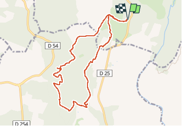

Length
10.3 km

Max alt
300 m

Uphill gradient
299 m
Km-Effort
14.2 km

Min alt
142 m

Downhill gradient
298 m
Boucle
Yes
Creation date :
2023-12-07 07:34:09.474
Updated on :
2025-03-13 17:20:20.405
3h14
Difficulty : Difficult

FREE GPS app for hiking
 SityTrail
IGN / Geographical institutes
SityTrail Plus
The world is yours!
About
Trail Walking of 10.3 km to be discovered at Provence-Alpes-Côte d'Azur, Var, Callas. This trail is proposed by boulinevelyne.
Description
GPS: 43.5397,6.5737
Parking de la piste de Châteauvieux
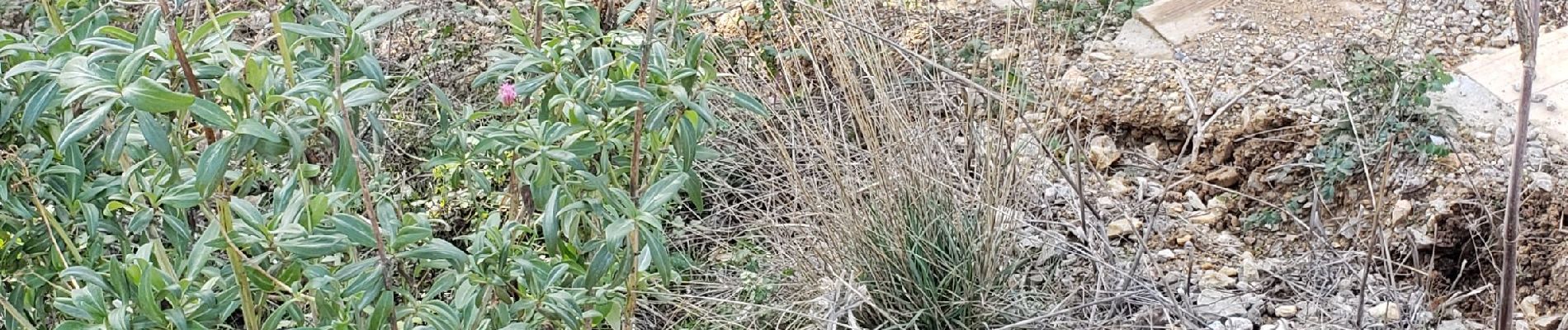
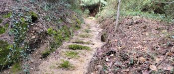
Photos


Positioning
Country:
France
Region :
Provence-Alpes-Côte d'Azur
Department/Province :
Var
Municipality :
Callas
Location:
Unknown
Start:(Dec)
Start:(UTM)
303972 ; 4823613 (32T) N.
Comments