


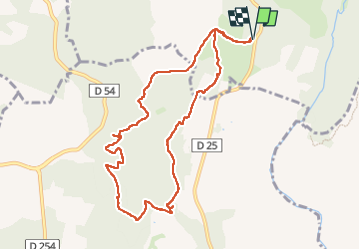


13.3 km | 18.3 km-effort

User


FREE GPS app for hiking
 SityTrail
IGN / Geographical institutes
SityTrail World
The world is yours!
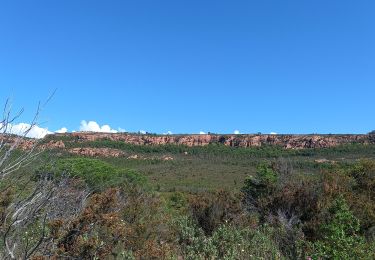
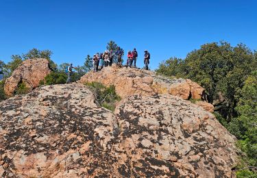
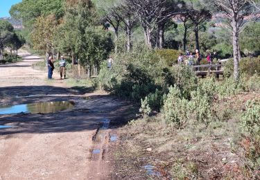
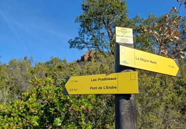
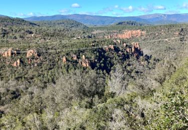
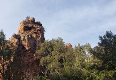
Trail Walking of 10.3 km to be discovered at Provence-Alpes-Côte d'Azur, Var, Callas. This trail is proposed by boulinevelyne.
GPS: 43.5397,6.5737
Parking de la piste de Châteauvieux


Walking
Walking
Walking
Walking
Walking
Walking
Walking
Walking

Walking