


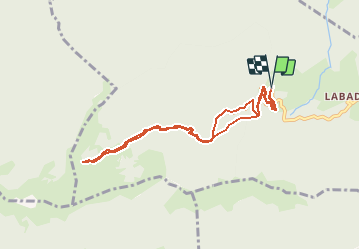

46 km | 67 km-effort


User


FREE GPS app for hiking
 SityTrail
IGN / Geographical institutes
SityTrail World
The world is yours!
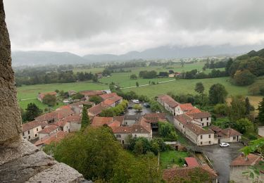
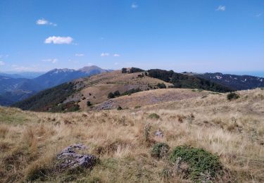
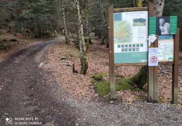
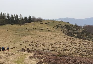
Trail Snowshoes of 8.6 km to be discovered at Occitania, Haute-Garonne, Herran. This trail is proposed by Polo-31.
Le départ peut s'effectuer de plus ou moins haut en fonction de l'enneigement de la route de la Fontaine de l'Ours.
Walking
Walking
Walking
Walking
Mountain bike
Mountain bike

Mountain bike
Mountain bike

Mountain bike