


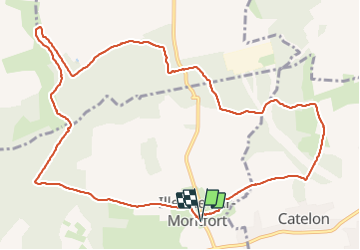


10 km | 11.2 km-effort

User


FREE GPS app for hiking
 SityTrail
IGN / Geographical institutes
SityTrail World
The world is yours!
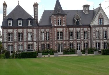
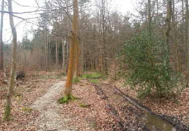
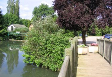
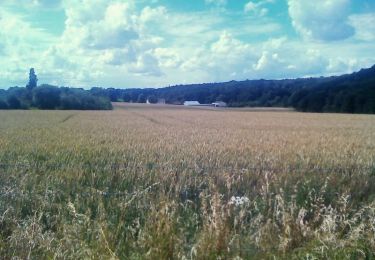
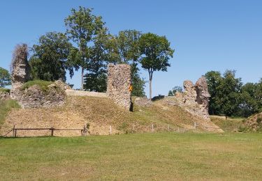
Trail Walking of 12.3 km to be discovered at Normandy, Eure, Illeville-sur-Montfort. This trail is proposed by MichelRando7656.


Walking
Walking
Walking
Walking
Walking

Equestrian
Walking
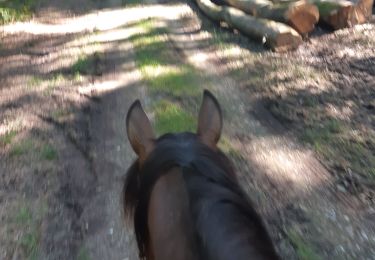
Horseback riding
Walking