Trail Walking Illeville-sur-Montfort - chemin des Séquoias - Photo
© OpenStreetMap contributors
Length
Length
7.8 km
Max alt
Max alt
145 m
Uphill gradient
Uphill gradient
143 m
Km-Effort
Km-Effort  
9.7 km
Min alt
Min alt
45 m
Downhill gradient
Downhill gradient
147 m
Boucle
Boucle
Yes
Creation date :
2016-03-11 00:00:00.0
Updated on :
2016-03-11 00:00:00.0

(0 Reviews)

Walking
Walking
2h56
Difficulty : Medium

Scan this QR Code to open this trail in the SityTrail application

FREE GPS app for hiking

Logo SityTrail SityTrail

IGN / Geographical institutes

Download SityTrail from the App Store Download SityTrail from Google Play

Logo SityTrail SityTrail World

The world is yours!

Download SityTrail from the App Store Download SityTrail from Google Play Download SityTrail on Huawei AppGallery

About

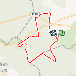
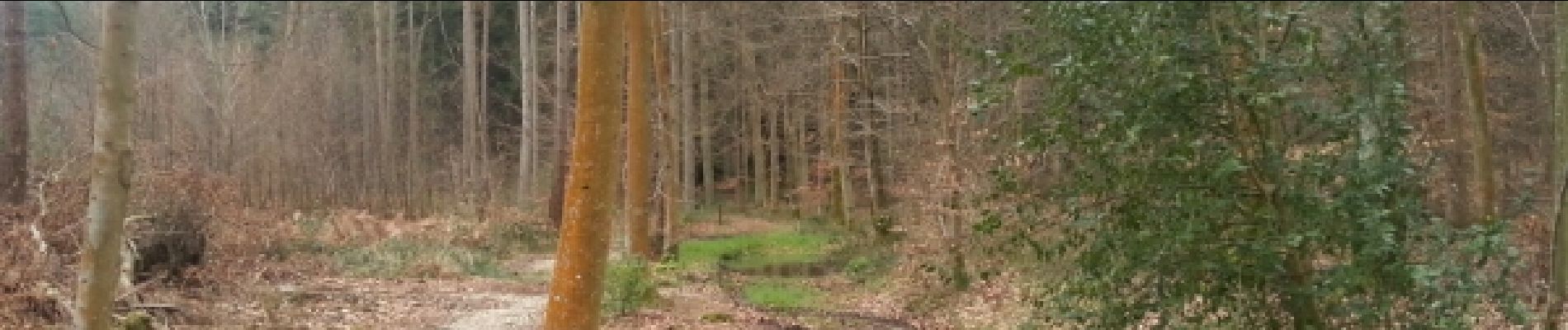
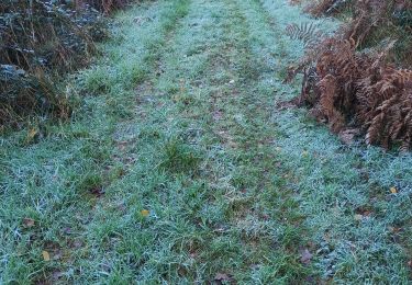
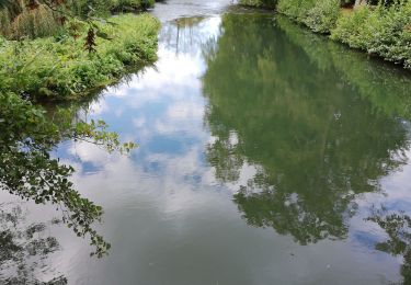
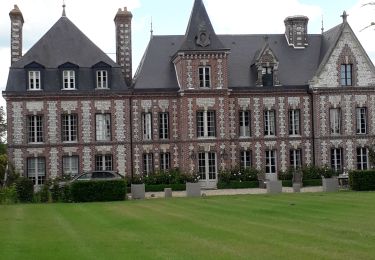
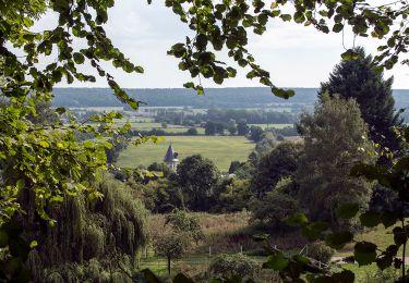
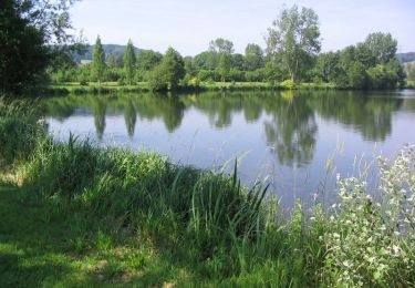
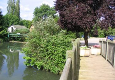
Trail Walking of 7.8 km to be discovered at Normandy, Eure, Illeville-sur-Montfort. This trail is proposed by dominiquelouis.

Elevation profile

Photos

Points of interest

Point of interest Écaquelon - Point 12 - Photo
dominiquelouis
ÉCAQUELON 
Point of interest Écaquelon - Point 14 - Photo
dominiquelouis
ÉCAQUELON 

Positioning

Country:
France
Region :
Normandy
Department/Province :
Eure
Municipality :
Illeville-sur-Montfort
Location:
Unknown
Start:(UTM)
332682 ; 5464022 (31U) N.

Trails nearby

Trail Walking Illeville-sur-Montfort - Illeville-sur-Monfort - Le circuit des Jacinthes - Photo
Walking
MichelRando7656

Walking

Difficult
(1)
Illeville-sur-Montfort, Normandy, Eure, France
12.3 km | 14.5 km-effort
3h 8min
Yes
Trail Walking Appeville-Annebault - Appeville Annebault - Photo
Walking
Roulland

Walking

Medium
(1)
Appeville-Annebault, Normandy, Eure, France
26 km | 33 km-effort
4h 42min
Yes
Trail Walking Montfort-sur-Risle - Montfort-sur-Risle  - Photo
Walking
MichelRando7656

Walking

Difficult
Montfort-sur-Risle, Normandy, Eure, France
21 km | 26 km-effort
7h 21min
Yes
Trail Walking Thénouville - Bosc-Renoult en Roumois- Randonnée à ma campagne - 9,6km - Photo
Walking
MichelRando7656

Walking

Easy
(2)
Thénouville, Normandy, Eure, France
9.7 km | 11.6 km-effort
2h 58min
Yes
Trail Walking Appeville-Annebault - appeville - Photo
Walking
MichelRando7656

Walking

Medium
Appeville-Annebault, Normandy, Eure, France
23 km | 29 km-effort
5h 6min
Yes
Trail Walking Saint-Philbert-sur-Risle -        Chemin du Rossignol                     - Photo
Walking
7217Lionel

Walking

Medium
Saint-Philbert-sur-Risle, Normandy, Eure, France
10.2 km | 13.7 km-effort
2h 30min
Yes
Trail Mountain bike Saint-Philbert-sur-Risle - Autour de Saint-Philbert-sur-Risle - Photo
Mountain bike
tracegps

Mountain bike

Medium
Saint-Philbert-sur-Risle, Normandy, Eure, France
38 km | 45 km-effort
3h 0min
Yes
Trail Walking Saint-Philbert-sur-Risle - Autour de Saint-Philbert-sur-Risle - Photo
Walking
tracegps

Walking

Difficult
Saint-Philbert-sur-Risle, Normandy, Eure, France
38 km | 45 km-effort
8h 0min
Yes
Trail Walking Montfort-sur-Risle - Chemin du Rond de Beuvron - Montfort sur Risle - Photo
Walking
tracegps

Walking

Medium
Montfort-sur-Risle, Normandy, Eure, France
11.7 km | 14.9 km-effort
3h 0min
Yes


Close
My subscriptions