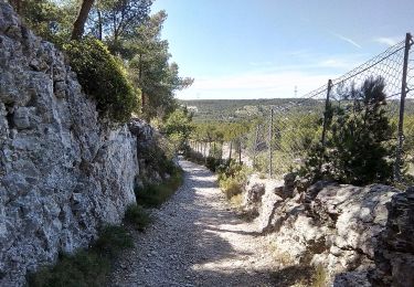
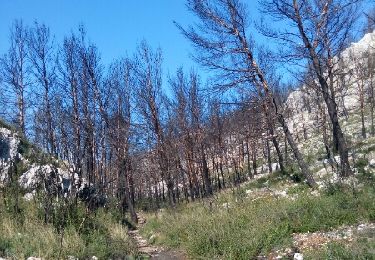
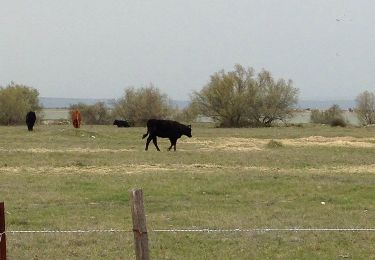
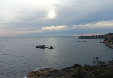
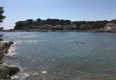
Trail Walking Châteauneuf-les-Martigues - Chateauneuf les martigues 11.6 - Photo
 togolo28
togolo28

User

© OpenStreetMap contributors
Length
Length
11.6 km
Max alt
Max alt
204 m
Uphill gradient
Uphill gradient
302 m
Km-Effort
Km-Effort  
15.7 km
Min alt
Min alt
55 m
Downhill gradient
Downhill gradient
304 m
Boucle
Boucle
Yes
Creation date :
2023-12-26 12:19:26.148
Updated on :
2024-01-01 10:14:12.454

(0 Reviews)

Walking
Walking
2h40
Difficulty : Easy

Scan this QR Code to open this trail in the SityTrail application

FREE GPS app for hiking

Logo SityTrail SityTrail

IGN / Geographical institutes

Download SityTrail from the App Store Download SityTrail from Google Play

Logo SityTrail SityTrail World

The world is yours!

Download SityTrail from the App Store Download SityTrail from Google Play Download SityTrail on Huawei AppGallery

About

Trail Walking of 11.6 km to be discovered at Provence-Alpes-Côte d'Azur, Bouches-du-Rhône, Châteauneuf-les-Martigues. This trail is proposed by togolo28.

Elevation profile

Positioning

Country:
France
Region :
Provence-Alpes-Côte d'Azur
Department/Province :
Bouches-du-Rhône
Municipality :
Châteauneuf-les-Martigues
Location:
Unknown
Start:(UTM)
674102 ; 4805780 (31T) N.

Trails nearby

Trail On foot Ensuès-la-Redonne - Grand Sentier de la Côte Bleue - Photo
On foot
PRO

On foot

Very difficult
Ensuès-la-Redonne, Provence-Alpes-Côte d'Azur, Bouches-du-Rhône, France
50 km | 60 km-effort
13h 34min
No
Trail On foot Martigues - Mer et colline Valestéloué - Photo
On foot
PRO

On foot

Easy
Martigues, Provence-Alpes-Côte d'Azur, Bouches-du-Rhône, France
14.5 km | 17.8 km-effort
4h 2min
Yes
Trail Walking Ensuès-la-Redonne - La chapelle notre Dame du Rouet. - Photo
Walking
liocol

Walking

Easy
Ensuès-la-Redonne, Provence-Alpes-Côte d'Azur, Bouches-du-Rhône, France
13 km | 17.1 km-effort
3h 41min
Yes
Trail Cycle Ensuès-la-Redonne - ensues carro - Photo
Cycle
potenciano

Cycle

Medium
(1)
Ensuès-la-Redonne, Provence-Alpes-Côte d'Azur, Bouches-du-Rhône, France
25 km | 29 km-effort
2h 0min
No
Trail Walking Marignane - l'étang de Bolmon et sa faune - Photo
Walking
martinemarie

Walking

Very easy
Marignane, Provence-Alpes-Côte d'Azur, Bouches-du-Rhône, France
12 km | 12.7 km-effort
4h 9min
Yes
Trail Walking Ensuès-la-Redonne - 2020 07 01 - Photo
Walking
georgein

Walking

Very easy
Ensuès-la-Redonne, Provence-Alpes-Côte d'Azur, Bouches-du-Rhône, France
10.9 km | 15.1 km-effort
3h 1min
Yes
Trail Mountain bike Martigues - Dimanche 19 mai 2024 - Photo
Mountain bike
olivier MULLER 2

Mountain bike

Easy
Martigues, Provence-Alpes-Côte d'Azur, Bouches-du-Rhône, France
14.8 km | 18.8 km-effort
1h 10min
Yes
Trail Walking Ensuès-la-Redonne - Ensues La Redonne Rouet - Photo
Walking
counoise

Walking

Easy
Ensuès-la-Redonne, Provence-Alpes-Côte d'Azur, Bouches-du-Rhône, France
12.9 km | 17.3 km-effort
2h 53min
Yes
Trail Car Marignane - Cap couronne le Rove 16082021 - Photo
Car
michel13370

Car

Marignane, Provence-Alpes-Côte d'Azur, Bouches-du-Rhône, France
90 km | 112 km-effort
2h 35min
Yes


Close
My subscriptions