


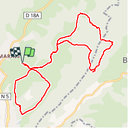


5.8 km | 8.7 km-effort

User


FREE GPS app for hiking
 SityTrail
IGN / Geographical institutes
SityTrail World
The world is yours!
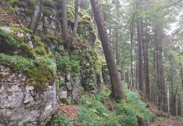
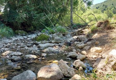
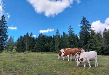
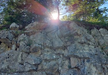
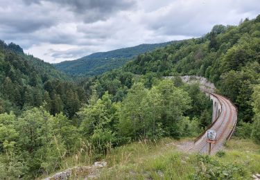
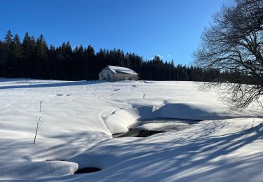
Trail Snowshoes of 13.5 km to be discovered at Bourgogne-Franche-Comté, Jura, Morbier. This trail is proposed by albert39.
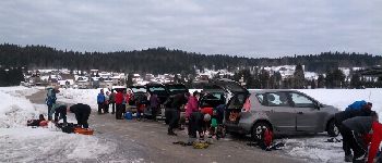
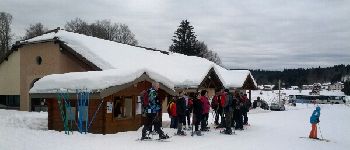
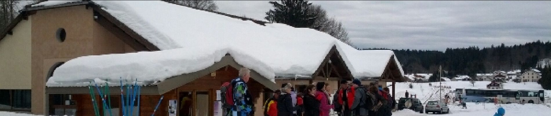
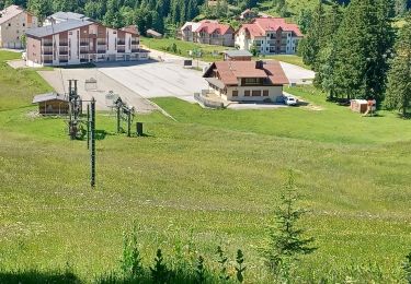
Sortie RSGD journée, Circuit n° 4 Les Chaumelles par le Chalet Pécaud, la Roche Devant, le Castel des Buses et salle hors sac ; l'après midi circuit n° 2 La Bucle par les Pontets et Combe Froide, puis parking.


Walking
Walking
Walking
Walking
Walking
Walking
Snowshoes
Snowshoes
Snowshoes