


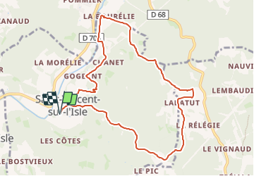

7.9 km | 10 km-effort


User


FREE GPS app for hiking
 SityTrail
IGN / Geographical institutes
SityTrail World
The world is yours!
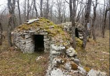
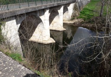
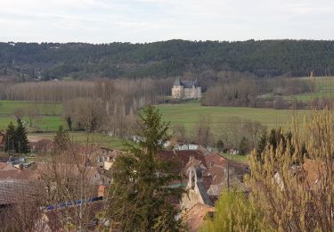
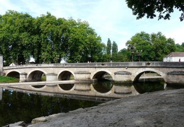
Trail Walking of 10.1 km to be discovered at New Aquitaine, Dordogne, Saint-Vincent-sur-l'Isle. This trail is proposed by DDESLAN.
Walking
Walking

Nordic walking
Nordic walking
Walking
Walking
Walking
Walking
Walking