Trail Road bike Saint-Rhémy-en-Bosses - 13 - Col du Grand St Bernard - Aoste - Photo

13 - Col du Grand St Bernard - Aoste

© OpenStreetMap contributors
Length
Length
39 km
Max alt
Max alt
2456 m
Uphill gradient
Uphill gradient
310 m
Km-Effort
Km-Effort  
49 km
Min alt
Min alt
631 m
Downhill gradient
Downhill gradient
2128 m
Boucle
Boucle
No
Creation date :
2024-01-18 14:13:35.708
Updated on :
2024-01-18 14:15:00.684

(0 Reviews)

Road bike
Road bike
2h59
Difficulty : Very difficult

Scan this QR Code to open this trail in the SityTrail application

FREE GPS app for hiking

Logo SityTrail SityTrail

IGN / Geographical institutes

Download SityTrail from the App Store Download SityTrail from Google Play

Logo SityTrail SityTrail World

The world is yours!

Download SityTrail from the App Store Download SityTrail from Google Play Download SityTrail on Huawei AppGallery

About

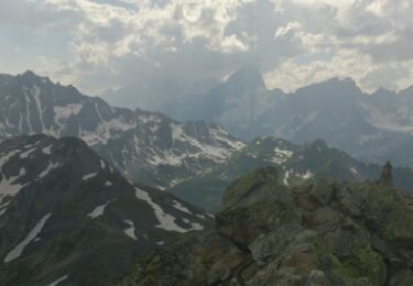
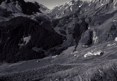
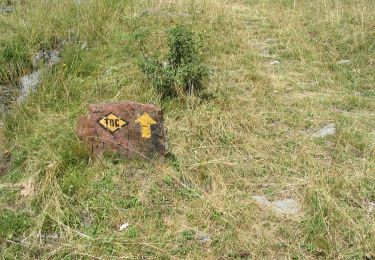
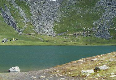
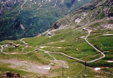
Trail Road bike of 39 km to be discovered at Aosta Valley, Unknown, Saint-Rhémy-en-Bosses. This trail is proposed by v.hanosset.

Elevation profile

Positioning

Country:
Italy
Region :
Aosta Valley
Department/Province :
Unknown
Municipality :
Saint-Rhémy-en-Bosses
Location:
Unknown
Start:(UTM)
357625 ; 5081126 (32T) N.

Trails nearby

Trail Walking Bourg-Saint-Pierre - st. Bernard - Photo
Walking
PurroB

Walking

Very easy
(2)
Bourg-Saint-Pierre, Valais/Wallis, Entremont, Switzerland
44 km | 116 km-effort
6h 17min
No
Trail On foot Saint-Rhémy-en-Bosses - Alta Via n. 1 della Valle d'Aosta - Tappa 15 - Photo
On foot
PRO

On foot

Medium
Saint-Rhémy-en-Bosses, Aosta Valley, Unknown, Italy
10.4 km | 21 km-effort
4h 40min
No
Trail On foot Saint-Rhémy-en-Bosses - (SI F11) Saint-Rhémy - Rifugio Champillon - Photo
On foot
PRO

On foot

Medium
Saint-Rhémy-en-Bosses, Aosta Valley, Unknown, Italy
14.1 km | 30 km-effort
6h 49min
No
Trail On foot Bourg-Saint-Pierre - Chemins pédestres, région St-Bernard - Photo
On foot
PRO

On foot

Easy
Bourg-Saint-Pierre, Valais/Wallis, Entremont, Switzerland
8.6 km | 18.8 km-effort
4h 15min
No
Trail On foot Bourg-Saint-Pierre - Via Alpina Red R117 - Photo
On foot
PRO

On foot

Very difficult
Bourg-Saint-Pierre, Valais/Wallis, Entremont, Switzerland
27 km | 46 km-effort
10h 25min
No
Trail On foot Orsières - Sentier des Bergers - Photo
On foot
PRO

On foot

Easy
Orsières, Valais/Wallis, Entremont, Switzerland
4.8 km | 9.2 km-effort
2h 5min
No
Trail On foot Bourg-Saint-Pierre - Tour du Lac des Toules - Photo
On foot
PRO

On foot

Medium
Bourg-Saint-Pierre, Valais/Wallis, Entremont, Switzerland
14.4 km | 25 km-effort
5h 44min
Yes
Trail Walking Saint-Rhémy-en-Bosses - col du St Bernard  - Photo
Walking
suzanne.bron

Walking

Easy
Saint-Rhémy-en-Bosses, Aosta Valley, Unknown, Italy
1.8 km | 4.5 km-effort
2h 21min
No
Trail Touring skiing Bourg-Saint-Pierre - col du Grand st Bernard  - Photo
Touring skiing
mdvdr

Touring skiing

Very easy
Bourg-Saint-Pierre, Valais/Wallis, Entremont, Switzerland
5.1 km | 10.5 km-effort
2h 15min
No


Close
My subscriptions