


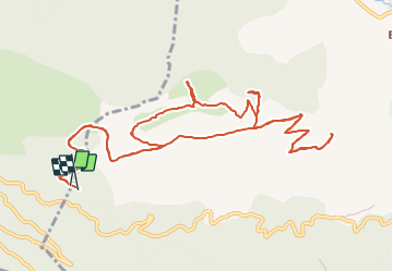

16.3 km | 26 km-effort


User GUIDE


FREE GPS app for hiking
 SityTrail
IGN / Geographical institutes
SityTrail World
The world is yours!
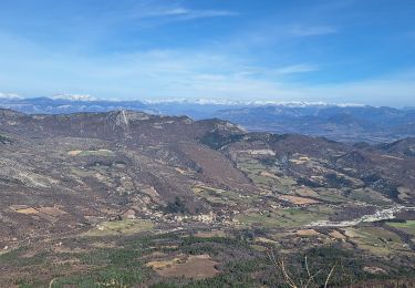
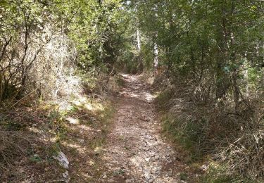
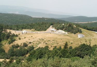
Trail On foot of 16 km to be discovered at Provence-Alpes-Côte d'Azur, Alpes-de-Haute-Provence, Noyers-sur-Jabron. This trail is proposed by R@ph.
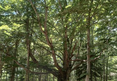
Une randonnée au départ de la cabane de Graille, avec passage au pas de Sumiou et par la grotte des Peyrouets. Retour par la montagne de Sumiou.


Walking
Walking
Walking
Walking

Walking

Walking
Walking
Walking
Walking