


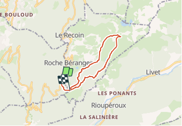

11.4 km | 20 km-effort

User


FREE GPS app for hiking
 SityTrail
IGN / Geographical institutes
SityTrail World
The world is yours!
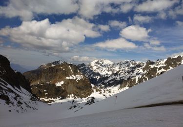
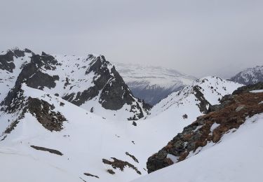
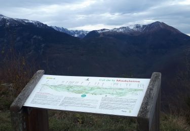
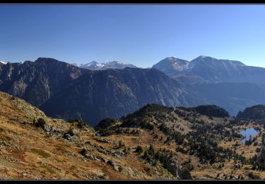
Trail Walking of 11 km to be discovered at Auvergne-Rhône-Alpes, Isère, Vaulnaveys-le-Haut. This trail is proposed by Youcef Atallah.
raquette retour par bachata Boulou


Walking
On foot
On foot

Walking
Touring skiing
Walking
Walking
Walking
Walking