


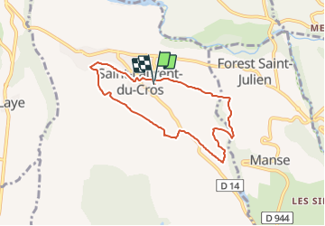

11.8 km | 19.7 km-effort

User GUIDE


FREE GPS app for hiking
 SityTrail
IGN / Geographical institutes
SityTrail World
The world is yours!
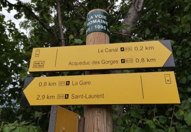
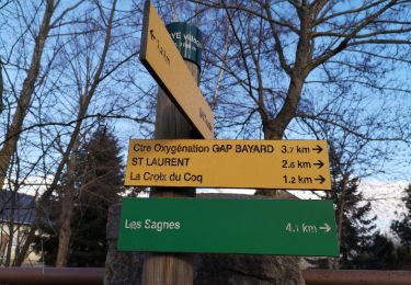
Trail Walking of 6.9 km to be discovered at Provence-Alpes-Côte d'Azur, Hautes-Alpes, Saint-Laurent-du-Cros. This trail is proposed by R@ph.
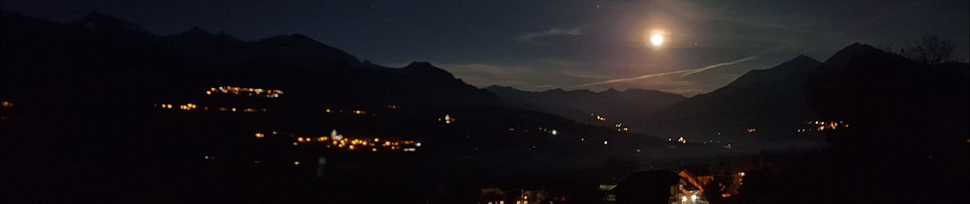
Une balade nocturne proposée par l'association l’Étoile Sportive de Saint Laurent du Cros autour de la commune. Sans difficulté, plusieurs parcours sont proposés par les sentiers environnants.
Depuis plusieurs années l'association propose (contre une participation) cette sortie annuelle suivie d'un repas.


Walking
Walking
Walking

Walking
Walking
Walking
Walking

Walking

Snowshoes