


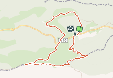
La Sainte-Victoire du Col des Portes au Pic des Mouches

Berpav
User


4h14
Difficulty : Difficult

FREE GPS app for hiking
 SityTrail
IGN / Geographical institutes
SityTrail Plus
The world is yours!
About
Trail Walking of 11.8 km to be discovered at Provence-Alpes-Côte d'Azur, Bouches-du-Rhône, Vauvenargues. This trail is proposed by Berpav.
Description
Une randonnée de difficulté moyenne qui vous emmène du Col des Portes vers le Pic des Mouches, un des sommets de la Sainte-Victoire d'où la vue est superbe. Ensuite, fin de la boucle par la Citadelle, un plateau rocheux au vague air de château fort (avec beaucoup d'imagination).
Positioning
Comments