


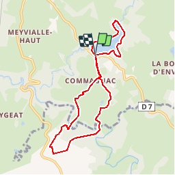
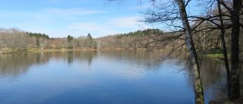
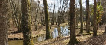
Lac et moulins - Vigeois

houbart
User


2h40
Difficulty : Medium

FREE GPS app for hiking
 SityTrail
IGN / Geographical institutes
SityTrail Plus
The world is yours!
About
Trail Walking of 8.2 km to be discovered at New Aquitaine, Corrèze, Vigeois. This trail is proposed by houbart.
Description
Départ juste après l'aire de camping-cars, près du lac. Rando constituée de 2 boucles : le tour du lac et boucle des moulins. Attention, par temps de pluie, le chemin qui remonte après le moulin de la Forêt se transforme par endroits en un ruisseau...
Photos


Positioning
Comments