


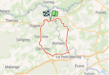

15 km | 19.3 km-effort


User


FREE GPS app for hiking
 SityTrail
IGN / Geographical institutes
SityTrail World
The world is yours!
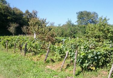
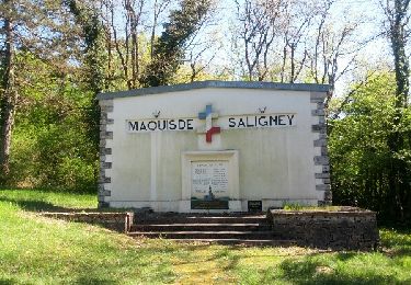
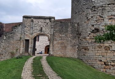
Trail Walking of 24 km to be discovered at Bourgogne-Franche-Comté, Jura, Pagney. This trail is proposed by micbesac.
rando de 7 villages et châteaux
Walking

On foot
On foot

Walking
Walking
Nordic walking
Nordic walking
Walking

Walking