Trail Road bike Malataverne - Malataverne col de colombier boucle - Photo

Malataverne col de colombier boucle

 martoche
martoche

User

© OpenStreetMap contributors
Length
Length
45 km
Max alt
Max alt
438 m
Uphill gradient
Uphill gradient
643 m
Km-Effort
Km-Effort  
53 km
Min alt
Min alt
108 m
Downhill gradient
Downhill gradient
666 m
Boucle
Boucle
No
Creation date :
2024-02-21 12:35:21.412
Updated on :
2024-02-21 15:22:11.29

(0 Reviews)

Road bike
Road bike
2h32
Difficulty : Difficult

Scan this QR Code to open this trail in the SityTrail application

FREE GPS app for hiking

Logo SityTrail SityTrail

IGN / Geographical institutes

Download SityTrail from the App Store Download SityTrail from Google Play

Logo SityTrail SityTrail World

The world is yours!

Download SityTrail from the App Store Download SityTrail from Google Play Download SityTrail on Huawei AppGallery

About

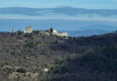
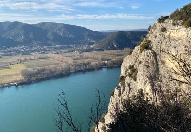
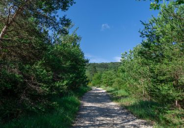
Trail Road bike of 45 km to be discovered at Auvergne-Rhône-Alpes, Drôme, Malataverne. This trail is proposed by martoche.

Description

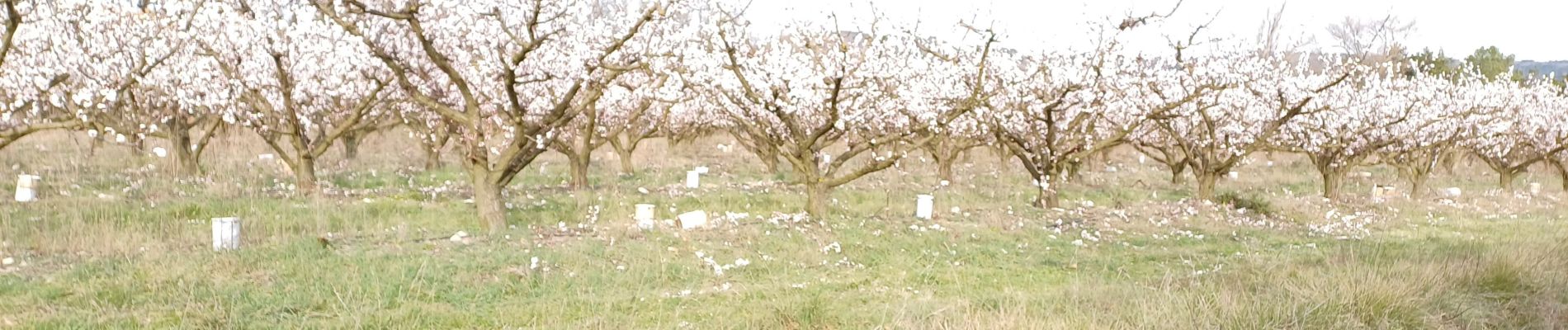
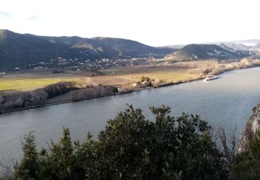
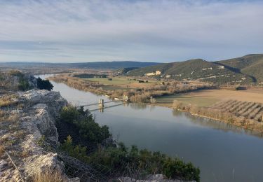
belle boucle à  travers  la  Drôme Provencale faite le 21 février 2024. Vergers en fleurs, pas encore les lavandes   mais que ces champs doivent cette beaux à  la belle saison.

Elevation profile

Photos

Positioning

Country:
France
Region :
Auvergne-Rhône-Alpes
Department/Province :
Drôme
Municipality :
Malataverne
Location:
Unknown
Start:(UTM)
640716 ; 4927284 (31T) N.

Trails nearby

Trail Walking Allan - allan transclavienne rac - Photo
Walking
micheleuvrard

Walking

Very easy
(1)
Allan, Auvergne-Rhône-Alpes, Drôme, France
19.1 km | 26 km-effort
5h 11min
Yes
Trail Walking Donzère - Donzère Falaises et Navon 14km - Photo
Walking
chancha

Walking

Medium
(1)
Donzère, Auvergne-Rhône-Alpes, Drôme, France
13.5 km | 18.2 km-effort
4h 10min
Yes
Trail Walking Donzère - Donzère -falaises-Navon-ruines 15km - Photo
Walking
GUIDE
thonyc

Walking

Medium
Donzère, Auvergne-Rhône-Alpes, Drôme, France
15.4 km | 19.7 km-effort
4h 10min
Yes
Trail Walking Donzère - Donzère les falaises 6km - Photo
Walking
GUIDE
thonyc

Walking

Easy
(1)
Donzère, Auvergne-Rhône-Alpes, Drôme, France
5.4 km | 7.2 km-effort
2h 0min
Yes
Trail sport Allan - SityTrail - Les Villages Perchés. - Photo
sport
collot

sport

Very easy
(1)
Allan, Auvergne-Rhône-Alpes, Drôme, France
19.5 km | 27 km-effort
Unknown
Yes
Trail Walking Châteauneuf-du-Rhône - Châteauneuf du Rhône, Navon. - Photo
Walking
Lucien84

Walking

Easy
Châteauneuf-du-Rhône, Auvergne-Rhône-Alpes, Drôme, France
12.6 km | 17.1 km-effort
4h 58min
Yes
Trail Walking Allan - Allan Château de Rochefort en Valdaine - Photo
Walking
TOULAUDIN

Walking

Easy
Allan, Auvergne-Rhône-Alpes, Drôme, France
17.7 km | 26 km-effort
6h 6min
Yes
Trail Walking Donzère - Donzere crête du robinet  - Photo
Walking
aitkhedache

Walking

Very easy
Donzère, Auvergne-Rhône-Alpes, Drôme, France
6.1 km | 8 km-effort
2h 40min
Yes
Trail Walking Espeluche - 2022-10-20_15h14m37_GPX-Bois-Jamot-Espeluche - Photo
Walking
chancha

Walking

Medium
(1)
Espeluche, Auvergne-Rhône-Alpes, Drôme, France
11.3 km | 15.4 km-effort
3h 28min
Yes


Close
My subscriptions