


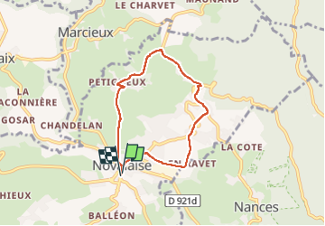

11.1 km | 20 km-effort


User


FREE GPS app for hiking
 SityTrail
IGN / Geographical institutes
SityTrail World
The world is yours!
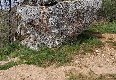
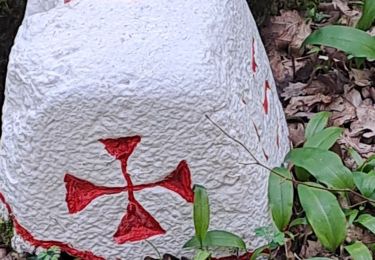
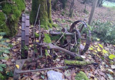
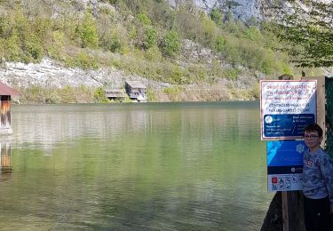
Trail Walking of 6 km to be discovered at Auvergne-Rhône-Alpes, Savoy, Novalaise. This trail is proposed by choubaka77.
Petite boucle d’après-midi d’hiver
Trail
Walking
Walking
Walking
Walking
Walking
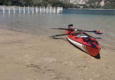
Canoe - kayak
Walking
Walking