


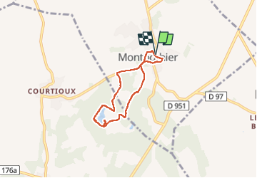

7.5 km | 9.1 km-effort

User


FREE GPS app for hiking
 SityTrail
IGN / Geographical institutes
SityTrail World
The world is yours!
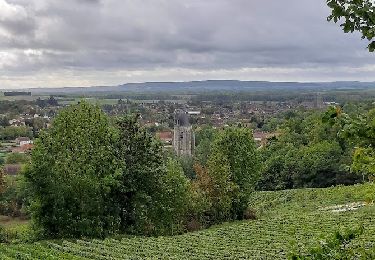
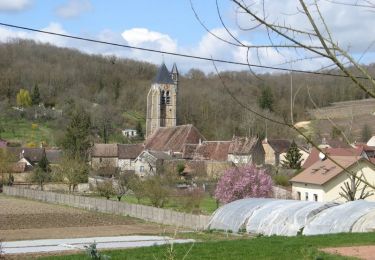
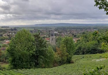
Trail Walking of 5.2 km to be discovered at Grand Est, Aube, Montpothier. This trail is proposed by jeannine grandjean.
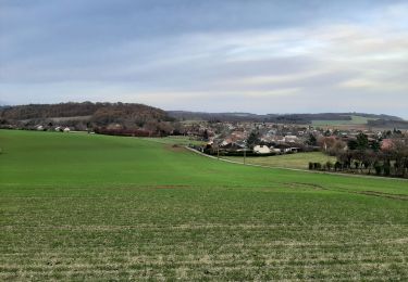
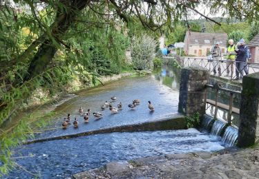
Au départ de la mairie, on rejoint le site des carrières d'argile anciennement exploitées, situé sur les territoires de Montpothier et de La Saulsotte, zone classée ZNIEFF (zone naturelle d'intérêt écologique pour sa faune et sa flore)
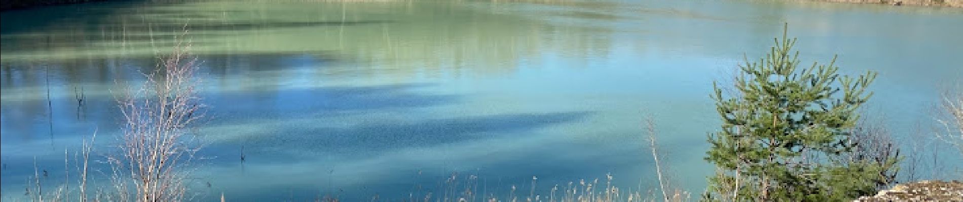
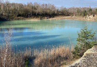
Ce site est une mosaïque de zones humides variées, alternant avec des milieux ouverts dénudés et secs, ce qui crée cette diversité d’habitats pour une faune et une flore rares dans la région : amateurs d'orchidées, n'hésitez pas, vous y trouverez de nombreuses espèces


Walking
Walking
Walking

Walking
Walking

Walking
Walking
Walking

Walking