


à la découverte du petit village du Thyl.

fizz1212
User
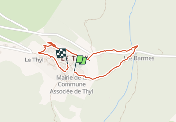

Length
924 m

Max alt
1414 m

Uphill gradient
44 m
Km-Effort
1.5 km

Min alt
1363 m

Downhill gradient
47 m
Boucle
Yes
Creation date :
2024-03-04 08:32:25.608
Updated on :
2024-03-04 09:10:22.736
37m
Difficulty : Easy

FREE GPS app for hiking
 SityTrail
IGN / Geographical institutes
SityTrail Plus
The world is yours!
About
Trail Walking of 924 m to be discovered at Auvergne-Rhône-Alpes, Savoy, Saint-Michel-de-Maurienne. This trail is proposed by fizz1212.
Description
Autour du thyl enneigé...
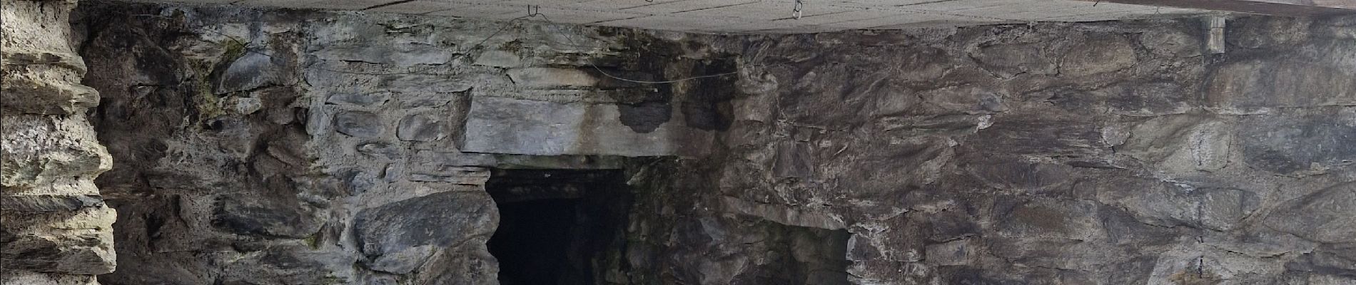
Photos


Positioning
Country:
France
Region :
Auvergne-Rhône-Alpes
Department/Province :
Savoy
Municipality :
Saint-Michel-de-Maurienne
Location:
Unknown
Start:(Dec)
Start:(UTM)
303078 ; 5010908 (32T) N.
Comments