


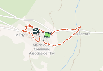

9.7 km | 14.5 km-effort

User


FREE GPS app for hiking
 SityTrail
IGN / Geographical institutes
SityTrail World
The world is yours!
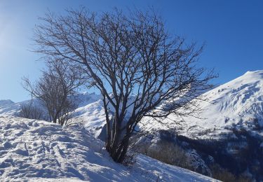
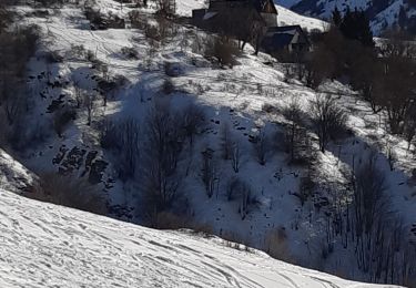
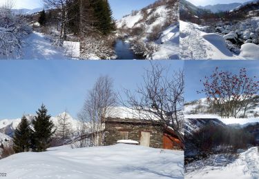
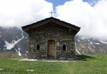
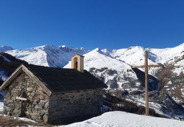
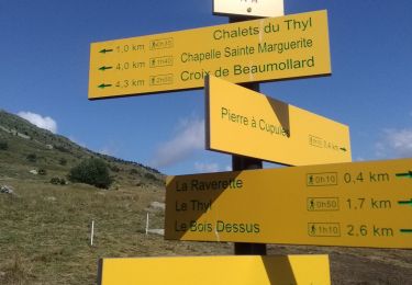
Trail Walking of 924 m to be discovered at Auvergne-Rhône-Alpes, Savoy, Saint-Michel-de-Maurienne. This trail is proposed by fizz1212.
Autour du thyl enneigé...


Walking
Touring skiing
Walking
Walking

Walking
Snowshoes
Walking
Walking
Walking