


2024 03 Cernay Moosch

staubalex
User
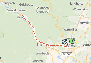

Length
29 km

Max alt
414 m

Uphill gradient
324 m
Km-Effort
33 km

Min alt
296 m

Downhill gradient
324 m
Boucle
Yes
Creation date :
2024-03-15 08:08:51.564
Updated on :
2024-03-15 08:11:01.168
3h00
Difficulty : Medium

FREE GPS app for hiking
 SityTrail
IGN / Geographical institutes
SityTrail Plus
The world is yours!
About
Trail Other activity of 29 km to be discovered at Grand Est, Haut-Rhin, Cernay. This trail is proposed by staubalex.
Positioning
Country:
France
Region :
Grand Est
Department/Province :
Haut-Rhin
Municipality :
Cernay
Location:
Unknown
Start:(Dec)
Start:(UTM)
363377 ; 5296239 (32T) N.
Comments