


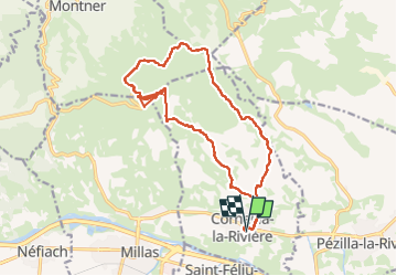

6.7 km | 11.4 km-effort


User


FREE GPS app for hiking
 SityTrail
IGN / Geographical institutes
SityTrail World
The world is yours!
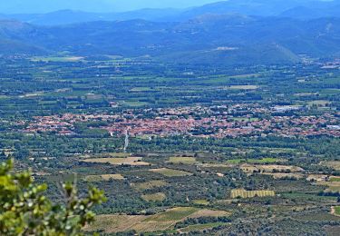
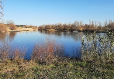
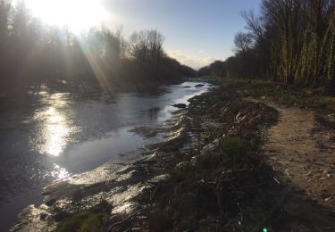
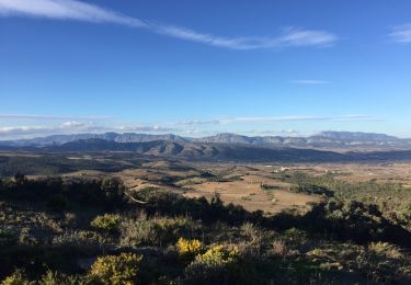
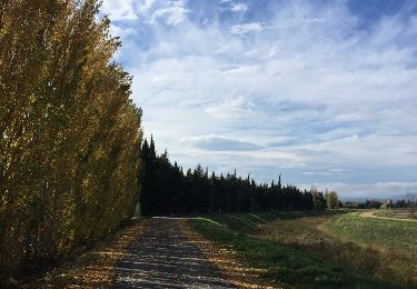
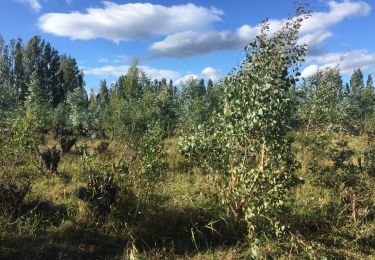
Trail Walking of 19 km to be discovered at Occitania, Pyrénées-Orientales, Corneilla-la-Rivière. This trail is proposed by ThonyM.
Très bien sauf peut être en plein été


On foot
Walking

Running
Walking
Walking

Walking
Walking
Walking

Walking