


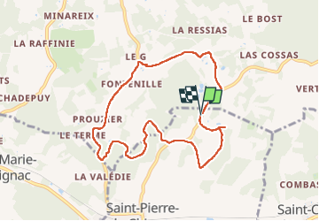
boucle chai lamardie

fab0202
User

Length
8.6 km

Max alt
249 m

Uphill gradient
178 m
Km-Effort
11 km

Min alt
162 m

Downhill gradient
189 m
Boucle
Yes
Creation date :
2024-03-17 07:20:43.494
Updated on :
2024-03-17 10:28:42.374
2h45
Difficulty : Easy

FREE GPS app for hiking
 SityTrail
IGN / Geographical institutes
SityTrail Plus
The world is yours!
About
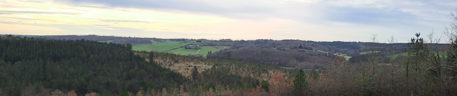
Trail Walking of 8.6 km to be discovered at New Aquitaine, Dordogne, Saint-Pierre-de-Chignac. This trail is proposed by fab0202.
Description
belle rando entre campagne et foret
Photos

Positioning
Country:
France
Region :
New Aquitaine
Department/Province :
Dordogne
Municipality :
Saint-Pierre-de-Chignac
Location:
Unknown
Start:(Dec)
Start:(UTM)
332356 ; 5000496 (31T) N.
Comments