


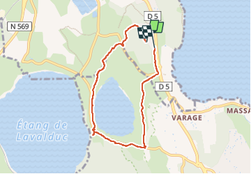

12.3 km | 14.7 km-effort

User


FREE GPS app for hiking
 SityTrail
IGN / Geographical institutes
SityTrail World
The world is yours!
Trail Walking of 6.9 km to be discovered at Provence-Alpes-Côte d'Azur, Bouches-du-Rhône, Istres. This trail is proposed by jll7513.
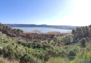
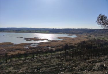
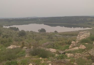
Et on peut en profiter, lorsque l'on est à mi-parcours au sud-ouest, juste entre les deux étangss de visiter le site archéologique de Saint-Blaise.


Walking
On foot
On foot
On foot
On foot
On foot
On foot

Walking
Walking