


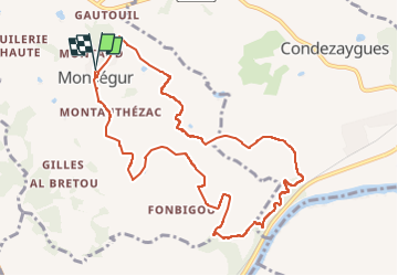

7.8 km | 8.9 km-effort


User


FREE GPS app for hiking
 SityTrail
IGN / Geographical institutes
SityTrail World
The world is yours!
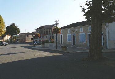
Trail Walking of 11 km to be discovered at New Aquitaine, Lot-et-Garonne, Monségur. This trail is proposed by patetl.
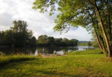
randonnée pédestre au sud du village jusqu'au Lot

Walking
Mountain bike
Walking
Equestrian

Mountain bike

Walking
Mountain bike

Walking
Mountain bike