


Vivonne ligugé

topolino
User
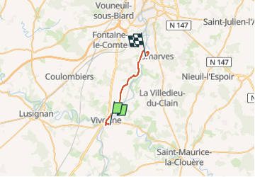

Length
17.1 km

Max alt
139 m

Uphill gradient
196 m
Km-Effort
19.9 km

Min alt
77 m

Downhill gradient
232 m
Boucle
No
Creation date :
2024-04-01 11:33:02.0
Updated on :
2024-04-01 11:33:04.155

FREE GPS app for hiking
 SityTrail
IGN / Geographical institutes
SityTrail Plus
The world is yours!
About
Trail of 17.1 km to be discovered at New Aquitaine, Vienne, Vivonne. This trail is proposed by topolino.
Positioning
Country:
France
Region :
New Aquitaine
Department/Province :
Vienne
Municipality :
Vivonne
Location:
Unknown
Start:(Dec)
Start:(UTM)
289985 ; 5144320 (31T) N.
Comments