


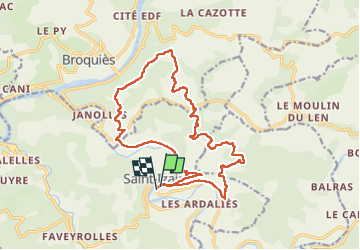

18.2 km | 24 km-effort


User


FREE GPS app for hiking
 SityTrail
IGN / Geographical institutes
SityTrail World
The world is yours!
Trail Walking of 19.5 km to be discovered at Occitania, Aveyron, Saint-Izaire. This trail is proposed by Frayssinet.
Rando gastronomique du lundi de Pâques ; 01/04/2024
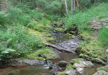
Beau temps, monde moyen.
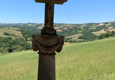
Walking

Walking
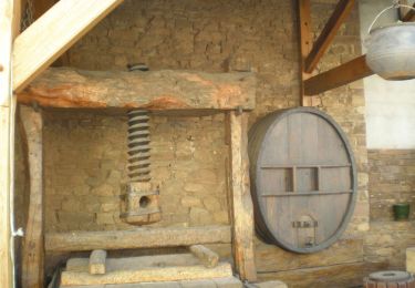
Walking
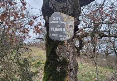
Walking
Walking
Walking
Walking

Walking

Other activity