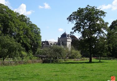
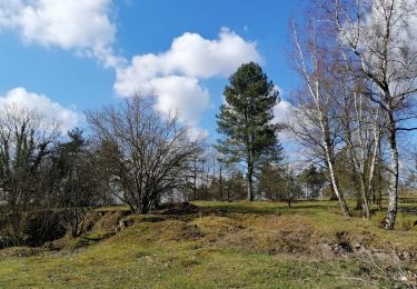
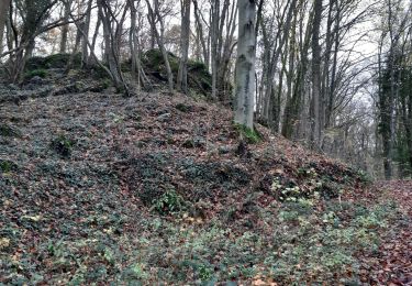
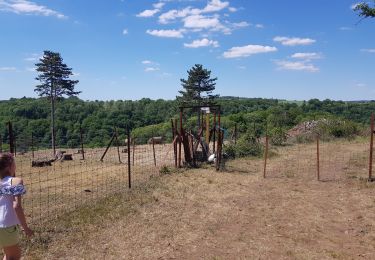
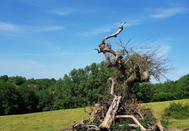
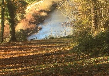
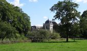
Trail Walking Hamoir - RB-Lg-19_Hamoir_via-racc-1 - Photo

RB-Lg-19_Hamoir_via-racc-1

Randonnez sur et autour des GR ® wallons (Sentiers de Grande Randonnée). PRO

© OpenStreetMap contributors
Length
Length
11.4 km
Max alt
Max alt
253 m
Uphill gradient
Uphill gradient
278 m
Km-Effort
Km-Effort  
15.1 km
Min alt
Min alt
114 m
Downhill gradient
Downhill gradient
278 m
Boucle
Boucle
Yes
Creation date :
2019-08-07 07:23:06.451
Updated on :
2024-04-26 12:34:15.284

(2 Reviews)

Walking
Walking
3h26
Difficulty : Difficult

Scan this QR Code to open this trail in the SityTrail application

FREE GPS app for hiking

Logo SityTrail SityTrail

IGN / Geographical institutes

Download SityTrail from the App Store Download SityTrail from Google Play

Logo SityTrail SityTrail World
The world is yours!

Download SityTrail from the App Store Download SityTrail from Google Play Download SityTrail on Huawei AppGallery

About

Trail Walking of 11.4 km to be discovered at Wallonia, Liège, Hamoir. This trail is proposed by GR Rando.

Description

Entre Ardennes et Condroz, cette randonnée autour de Hamoir offre des environnements variés : champs, bois, prairies, falaises, vallée, rivière... Elle permet également d’aller à la rencontre du patrimoine local : des villages pittoresques tels que Sy et Filot, le château de Lassus, l’église romane de Xhignesse ou encore un site attestant du passé mérovingien de la région.

Photos

Points of interest

Point of interest Hamoir - Château de Lassus - Photo
GR Rando
Point of interest Ferrières - Sy - Photo
GR Rando
FERRIÈRES 
Point of interest Hamoir - Hamoir  - Photo
GR Rando
HAMOIR 

Positioning

Country:
Belgium
Region :
Wallonia
Department/Province :
Liège
Municipality :
Hamoir
Location:
Unknown
Start:(UTM)
680143 ; 5589133 (31U) N.

Comments

Please log in to post a review or rate the element


Paysages très variés, entre les berges de l'Ourthe, les versants boisés escarpés et les prairies aux sommets. Fort boueux sur tout le parcours en cas de pluie.


Une superbe promenade qui emprunte des paysages très variés. Incontestablement 5 étoiles jusqu'au dernier kilomètre qui se déroule sur un très mauvais sentier abrupte et non sécurisé. Vraiment dangereux. Pas digne d'une balade GR.


Trails nearby

Trail Walking Hamoir - RB-Lg-19_Hamoir - Photo
Walking
PRO

Walking

Very difficult
(6)
Hamoir, Wallonia, Liège, Belgium
22 km | 28 km-effort
6h 18min
Yes
Trail Walking Ferrières - GG-Lu-15_Sy - Barvaux - Photo
Walking
PRO

Walking

Very difficult
(1)
Ferrières, Wallonia, Liège, Belgium
18.9 km | 26 km-effort
5h 58min
No
Trail Walking Hamoir - RB-Lg-19_Hamoir_via-racc-2 - Photo
Walking
PRO

Walking

Very difficult
(4)
Hamoir, Wallonia, Liège, Belgium
16 km | 20 km-effort
4h 36min
Yes
Trail Walking Hamoir - comblain la tour - Photo
Walking
lerson

Walking

Medium
(1)
Hamoir, Wallonia, Liège, Belgium
10.3 km | 12.9 km-effort
2h 32min
Yes
Trail Walking Ferrières - Promenade des crêtes Palogne - Photo
Walking
Klemens Trupke

Walking

Medium
(1)
Ferrières, Wallonia, Liège, Belgium
5.6 km | 7.7 km-effort
1h 52min
Yes
Trail Walking Hamoir - Comblain la tour  - Photo
Walking
Klemens Trupke

Walking

Difficult
(2)
Hamoir, Wallonia, Liège, Belgium
11 km | 14 km-effort
2h 36min
Yes
Trail Walking Hamoir - Hamoir adepstr - Photo
Walking
PSTRASSER

Walking

Very difficult
(1)
Hamoir, Wallonia, Liège, Belgium
21 km | 26 km-effort
4h 23min
Yes
Trail Walking Ferrières - RF-Lg-05_My_Grande-boucle - Photo
Walking
PRO

Walking

Very easy
(3)
Ferrières, Wallonia, Liège, Belgium
17.1 km | 22 km-effort
3h 31min
Yes
Trail Equestrian Hamoir - balade tranquille littlecreek - Photo
Equestrian
mystere

Equestrian

Medium
(1)
Hamoir, Wallonia, Liège, Belgium
15.3 km | 19.6 km-effort
2h 25min
Yes


Close
My subscriptions