


22 km | 28 km-effort
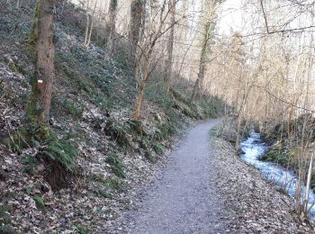
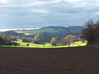
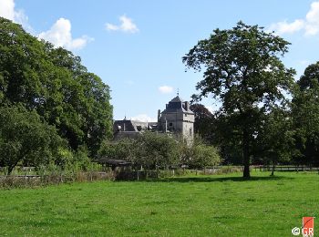
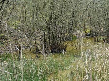
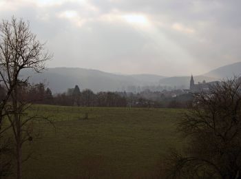
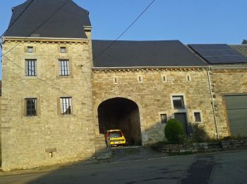
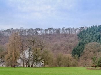
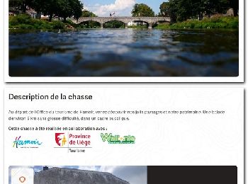
Hamoir: Discover the best trails: 225 hiking trails, 24 bike and mountain-bike routes and 6 equestrian circuits. All these trails, routes and outdoor activities are available in our SityTrail applications for smartphones and tablets.

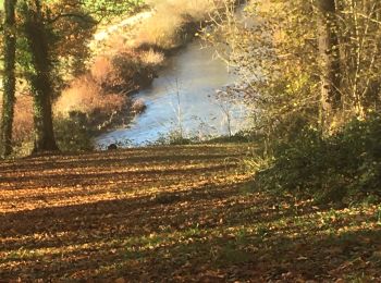
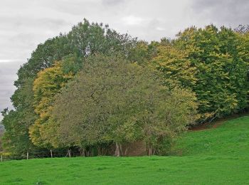
Walking


Walking
Walking

Walking
Walking
Walking

Walking
Walking
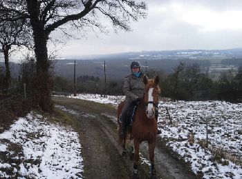
Equestrian
• terrain tres vallonné
On foot
• Trail created by Office du Tourisme de Hamoir.
On foot
• Trail created by Office du Tourisme de Hamoir.
On foot
• Trail created by Office du Tourisme de Hamoir.
On foot
• Trail created by Office du Tourisme de Hamoir.
On foot
• Trail created by Office du Tourisme de Hamoir.
On foot
• Trail created by Ourthe Vesdre Amblève.
Walking

Walking

Walking
Walking
• Parcours aise, sauf une très forte montée au début.
Walking
20 trails displayed on 269
FREE GPS app for hiking
 SityTrail
IGN / Geographical institutes
SityTrail World
The world is yours!