


Rando du 11/04/2024 ..Marcheurs

boubou68
User
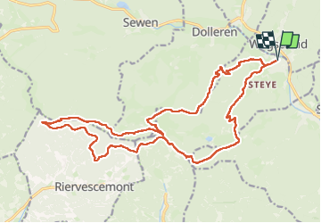

Length
23 km

Max alt
1070 m

Uphill gradient
1076 m
Km-Effort
37 km

Min alt
454 m

Downhill gradient
1075 m
Boucle
Yes
Creation date :
2024-04-11 07:12:51.407
Updated on :
2024-04-11 16:28:26.422
5h37
Difficulty : Very difficult

FREE GPS app for hiking
 SityTrail
IGN / Geographical institutes
SityTrail Plus
The world is yours!
About
Trail Walking of 23 km to be discovered at Grand Est, Haut-Rhin, Kirchberg. This trail is proposed by boubou68.
Description
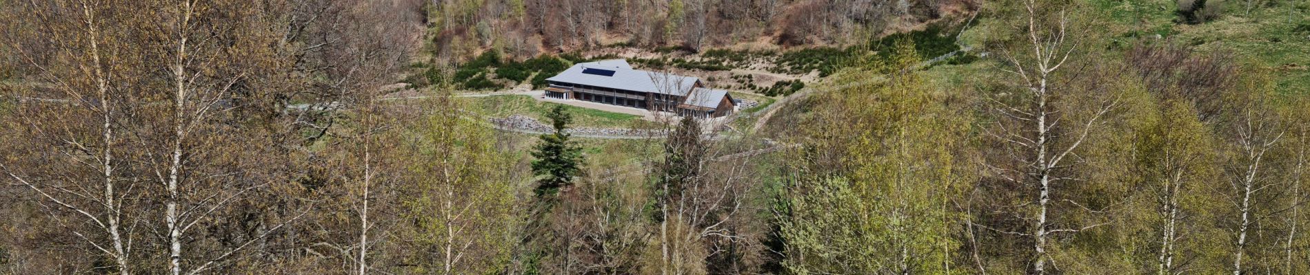
Très belle Rando tracée par Alain...Le chemin noir est en descente très pentue.
Photos


Positioning
Country:
France
Region :
Grand Est
Department/Province :
Haut-Rhin
Municipality :
Kirchberg
Location:
Unknown
Start:(Dec)
Start:(UTM)
347039 ; 5295828 (32T) N.
Comments