


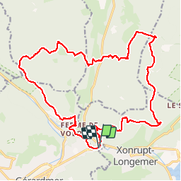

9.7 km | 14.9 km-effort


User


FREE GPS app for hiking
 SityTrail
IGN / Geographical institutes
SityTrail World
The world is yours!
Trail Walking of 25 km to be discovered at Grand Est, Vosges, Gérardmer. This trail is proposed by nfranche.
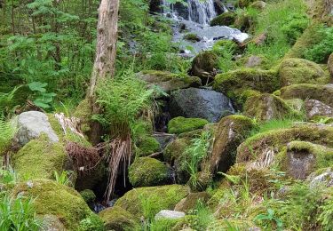
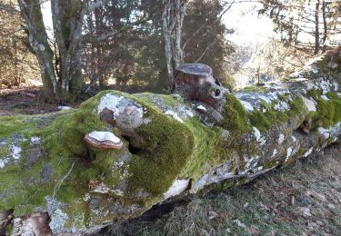
Très belle randonnée au départ du parking du Saut des Cuves à Xonrupt-Longemer avec passage à la Roche des Bruyères et aux gorges du Roitelet

Walking
Nordic walking

Walking

Walking

Walking

Walking

Walking
Walking

Walking