


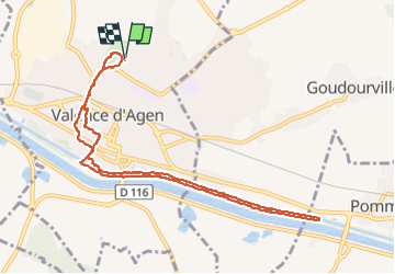

10.5 km | 12.7 km-effort


User


FREE GPS app for hiking
 SityTrail
IGN / Geographical institutes
SityTrail World
The world is yours!
Trail of 10.8 km to be discovered at Occitania, Tarn-et-Garonne, Valence. This trail is proposed by cheepewa.
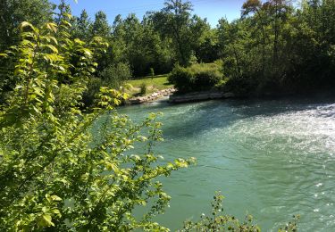
Jardin du Pontus, canal des 2mers jusqu’à écluse de Pommevic et retour


sport

Walking

Walking

Mountain bike

Walking

Walking
Walking

Mountain bike
Walking