


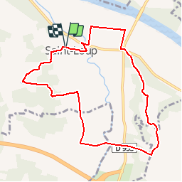

10.5 km | 12.7 km-effort


User


FREE GPS app for hiking
 SityTrail
IGN / Geographical institutes
SityTrail World
The world is yours!
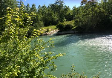
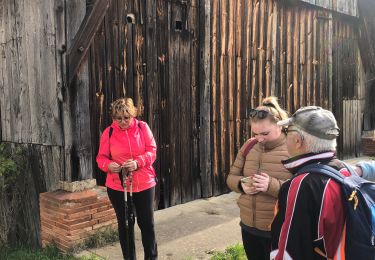
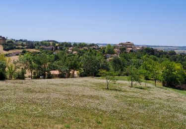
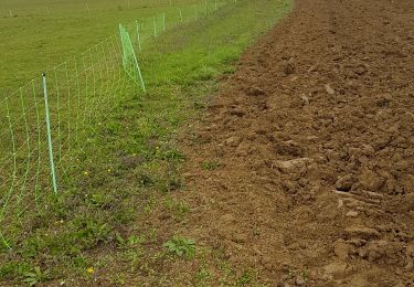
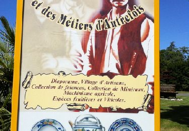
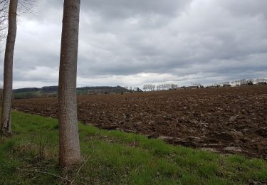
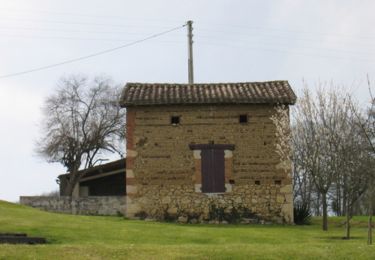
Trail Walking of 9.6 km to be discovered at Occitania, Tarn-et-Garonne, Saint-Loup. This trail is proposed by tracegps.


sport
sport
Walking
Walking

Walking
Mountain bike

Walking
Walking
Mountain bike