


Port-de-Piles - GR655 GR48 Descartes GRP Touraine Sud - 25.6km 180m 5h30 (45mn) - 2024 04 20

Orcal37
User GUIDE
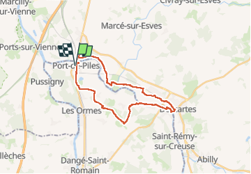

Length
26 km

Max alt
116 m

Uphill gradient
185 m
Km-Effort
29 km

Min alt
34 m

Downhill gradient
185 m
Boucle
Yes
Creation date :
2024-04-20 08:41:36.042
Updated on :
2024-04-21 13:25:20.483
5h30
Difficulty : Easy

FREE GPS app for hiking
 SityTrail
IGN / Geographical institutes
SityTrail Plus
The world is yours!
About
Trail Walking of 26 km to be discovered at New Aquitaine, Vienne, Port-de-Piles. This trail is proposed by Orcal37.
Description
Port-de-Piles - GR655 GR48 Descartes GRP Touraine Sud - 25.6km 180m 5h30 (45mn) - 2024 04 20
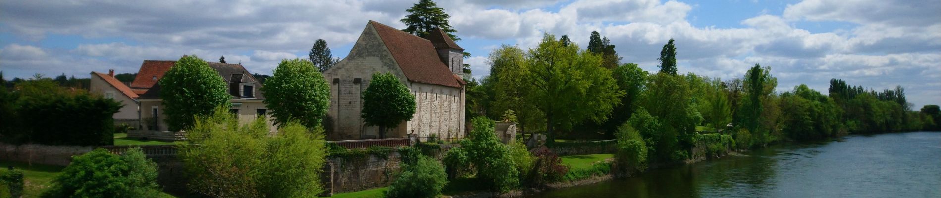
Photos
 - 2024 04 20 - Photo 1")
 - 2024 04 20 - Photo 2")
 - 2024 04 20 - Photo 3")
 - 2024 04 20 - Photo 4")
 - 2024 04 20 - Photo 5")
 - 2024 04 20 - Photo 6")
 - 2024 04 20 - Photo 7")
Positioning
Country:
France
Region :
New Aquitaine
Department/Province :
Vienne
Municipality :
Port-de-Piles
Location:
Unknown
Start:(Dec)
Start:(UTM)
317470 ; 5208305 (31T) N.
Comments