


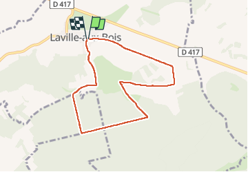

7.7 km | 9 km-effort

User


FREE GPS app for hiking
 SityTrail
IGN / Geographical institutes
SityTrail World
The world is yours!
Trail Walking of 7.4 km to be discovered at Grand Est, Haute-Marne, Laville-aux-Bois. This trail is proposed by JACQUES DENYS.
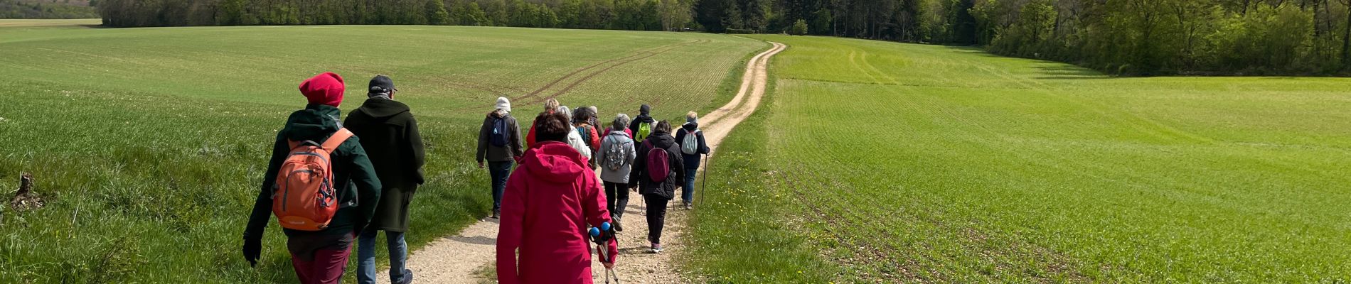
La moitié du parcours est à découvert.


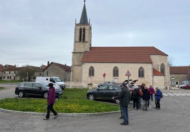
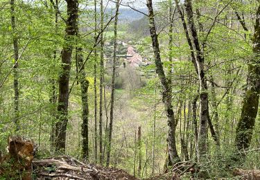
Walking

Walking

Moto cross
Walking
Walking

On foot
Walking
Walking