


Rs serrés castet 2024

LouisROGER
User GUIDE


Length
4.5 km

Max alt
203 m

Uphill gradient
20 m
Km-Effort
4.8 km

Min alt
189 m

Downhill gradient
18 m
Boucle
Yes
Creation date :
2024-04-23 12:23:24.206
Updated on :
2024-04-23 14:51:55.553
2h27
Difficulty : Easy

FREE GPS app for hiking
 SityTrail
IGN / Geographical institutes
SityTrail Plus
The world is yours!
About
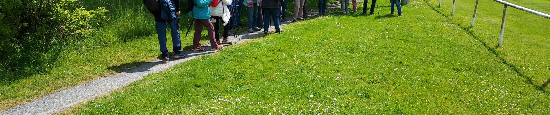
Trail Walking of 4.5 km to be discovered at New Aquitaine, Pyrénées-Atlantiques, Serres-Castet. This trail is proposed by LouisROGER.
Photos

Positioning
Country:
France
Region :
New Aquitaine
Department/Province :
Pyrénées-Atlantiques
Municipality :
Serres-Castet
Location:
Unknown
Start:(Dec)
Start:(UTM)
712526 ; 4806377 (30T) N.
Comments