


colonge

Nordic33
User GUIDE
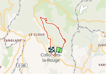

Length
6.1 km

Max alt
427 m

Uphill gradient
243 m
Km-Effort
9.3 km

Min alt
229 m

Downhill gradient
244 m
Boucle
Yes
Creation date :
2024-04-23 14:38:23.451
Updated on :
2024-04-23 16:32:58.033
1h54
Difficulty : Medium

FREE GPS app for hiking
 SityTrail
IGN / Geographical institutes
SityTrail Plus
The world is yours!
About
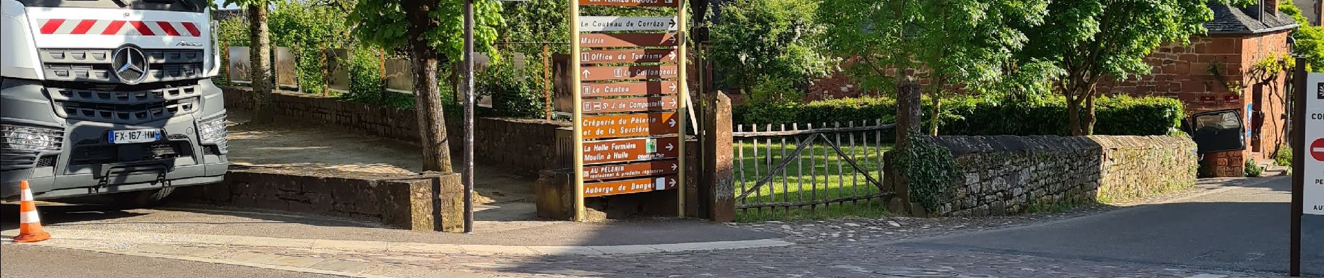
Trail Walking of 6.1 km to be discovered at New Aquitaine, Corrèze, Collonges-la-Rouge. This trail is proposed by Nordic33.
Photos


Positioning
Country:
France
Region :
New Aquitaine
Department/Province :
Corrèze
Municipality :
Collonges-la-Rouge
Location:
Unknown
Start:(Dec)
Start:(UTM)
394316 ; 4990584 (31T) N.
Comments