13.5 km | 19 km-effort
Kyoto otsu
Heudor
User
Length
7.6 km
Max alt
462 m
Uphill gradient
541 m
Km-Effort
14.8 km
Min alt
112 m
Downhill gradient
517 m
Boucle
No
Creation date :
2024-04-24 14:57:16.655
Updated on :
2024-04-24 14:57:19.323
4h30
Difficulty : Difficult
FREE GPS app for hiking
About
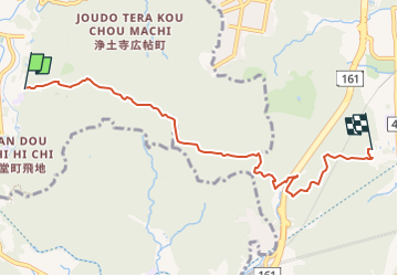
Trail Trail of 7.6 km to be discovered at Kyoto Prefecture, Unknown, Sakyo Ward. This trail is proposed by Heudor.
Positioning
Country:
Japan
Region :
Kyoto Prefecture
Department/Province :
Unknown
Municipality :
Sakyo Ward
Location:
Unknown
Start:(Dec)
Start:(UTM)
572746 ; 3875603 (53S) N.
Comments