Trail Snowshoes Entraunes - Pointe du Génépi  - Photo
 bozo1970
bozo1970

User

© OpenStreetMap contributors
Length
Length
11 km
Max alt
Max alt
2735 m
Uphill gradient
Uphill gradient
824 m
Km-Effort
Km-Effort  
22 km
Min alt
Min alt
1906 m
Downhill gradient
Downhill gradient
824 m
Boucle
Boucle
Yes
Creation date :
2024-04-25 06:44:24.0
Updated on :
2024-04-26 10:08:55.509

(0 Reviews)

Snowshoes
Snowshoes
5h37
Difficulty : Very difficult

Scan this QR Code to open this trail in the SityTrail application

FREE GPS app for hiking

Logo SityTrail SityTrail

IGN / Geographical institutes

Download SityTrail from the App Store Download SityTrail from Google Play

Logo SityTrail SityTrail World

The world is yours!

Download SityTrail from the App Store Download SityTrail from Google Play Download SityTrail on Huawei AppGallery

About

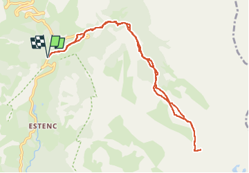
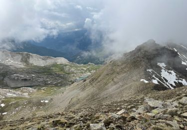
Trail Snowshoes of 11 km to be discovered at Provence-Alpes-Côte d'Azur, Maritime Alps, Entraunes. This trail is proposed by bozo1970.

Description

Montée par le vallon de Gorgias en rive gauche et en raquettes
Plateau en 1h56' D 542 et 4km750
Montée droit dans la pente au pied de la pointe en crampons   piolets
Sommet en 3h30 D 900 et 6km200
A/R en 5h37' D 912 et 12km
Parcours parfait et optimisé pour l'hiver
Préférer le pas de l'Estrop pour l'été

Elevation profile

Photos

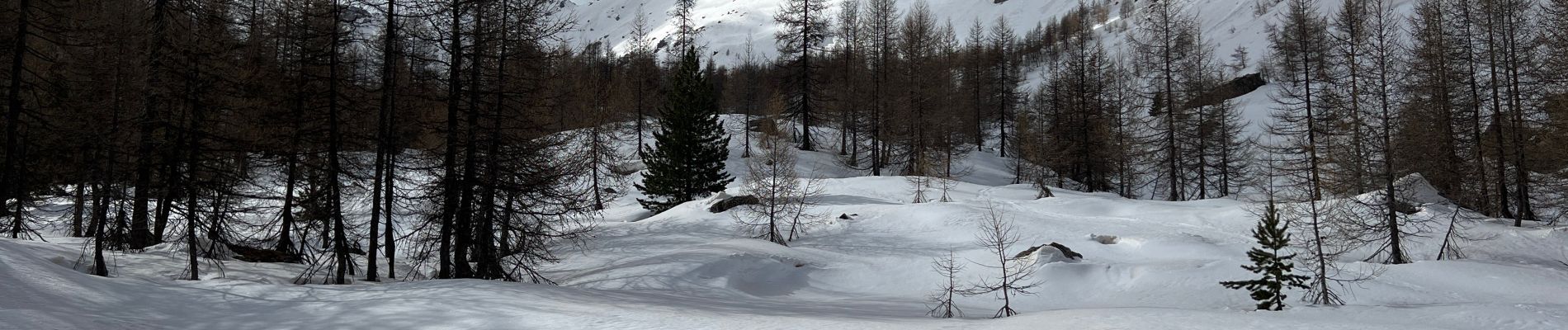
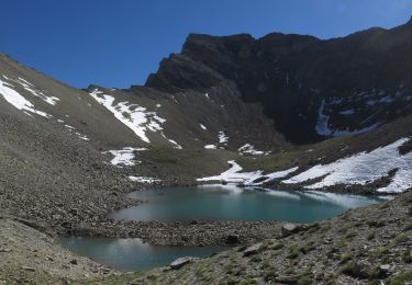
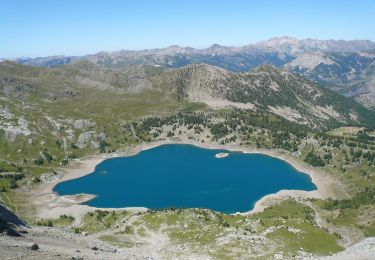
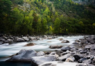
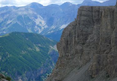
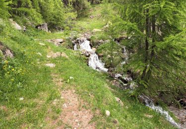
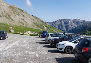
21 photos in total. Please click on a photo to see them all in the gallery.

Positioning

Country:
France
Region :
Provence-Alpes-Côte d'Azur
Department/Province :
Maritime Alps
Municipality :
Entraunes
Location:
Unknown
Start:(UTM)
320798 ; 4901624 (32T) N.

Trails nearby

Trail Walking Uvernet-Fours - Mercantour Le Cimet 3020 m - Photo
Walking
pascalspr

Walking

Medium
(2)
Uvernet-Fours, Provence-Alpes-Côte d'Azur, Alpes-de-Haute-Provence, France
20 km | 34 km-effort
5h 49min
Yes
Trail Walking Uvernet-Fours - Mont Pelat par la grande barre - Photo
Walking
Gouze13

Walking

Difficult
(1)
Uvernet-Fours, Provence-Alpes-Côte d'Azur, Alpes-de-Haute-Provence, France
16.4 km | 34 km-effort
4h 0min
Yes
Trail On foot Entraunes - Circuit des Lacs - Photo
On foot
PRO

On foot

Easy
Entraunes, Provence-Alpes-Côte d'Azur, Maritime Alps, France
8.9 km | 14.7 km-effort
3h 21min
Yes
Trail On foot Entraunes - Col de la Boucharde - Photo
On foot
PRO

On foot

Medium
Entraunes, Provence-Alpes-Côte d'Azur, Maritime Alps, France
16.6 km | 29 km-effort
6h 33min
Yes
Trail On foot Entraunes - Tête de la Boulière - Photo
On foot
PRO

On foot

Medium
Entraunes, Provence-Alpes-Côte d'Azur, Maritime Alps, France
16.9 km | 29 km-effort
6h 41min
Yes
Trail Walking Allos - le mont Pelat et le lac du trou de l'aigle - Photo
Walking
GUIDE
amiral13

Walking

Medium
Allos, Provence-Alpes-Côte d'Azur, Alpes-de-Haute-Provence, France
14.4 km | 27 km-effort
7h 19min
Yes
Trail Walking Entraunes - Estenc rando 1  - Photo
Walking
Christiancordin

Walking

Medium
Entraunes, Provence-Alpes-Côte d'Azur, Maritime Alps, France
13 km | 21 km-effort
3h 32min
Yes
Trail Walking Uvernet-Fours - LES LACS DE LA CAYOLLE - Photo
Walking
walrou63

Walking

Difficult
Uvernet-Fours, Provence-Alpes-Côte d'Azur, Alpes-de-Haute-Provence, France
9.9 km | 16 km-effort
3h 5min
Yes
Trail Walking Entraunes - La Grande Tour d’Allos par Estenc - Photo
Walking
bozo1970

Walking

Very difficult
Entraunes, Provence-Alpes-Côte d'Azur, Maritime Alps, France
7.2 km | 23 km-effort
8h 20min
Yes


Close
My subscriptions