


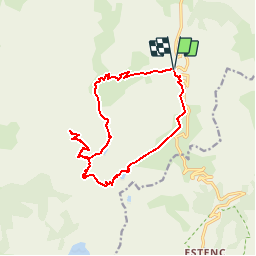

20 km | 34 km-effort

User


FREE GPS app for hiking
 SityTrail
IGN / Geographical institutes
SityTrail World
The world is yours!
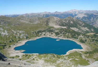
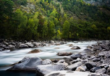
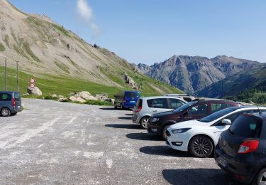
Trail Walking of 16.4 km to be discovered at Provence-Alpes-Côte d'Azur, Alpes-de-Haute-Provence, Uvernet-Fours. This trail is proposed by Gouze13.
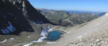
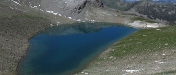
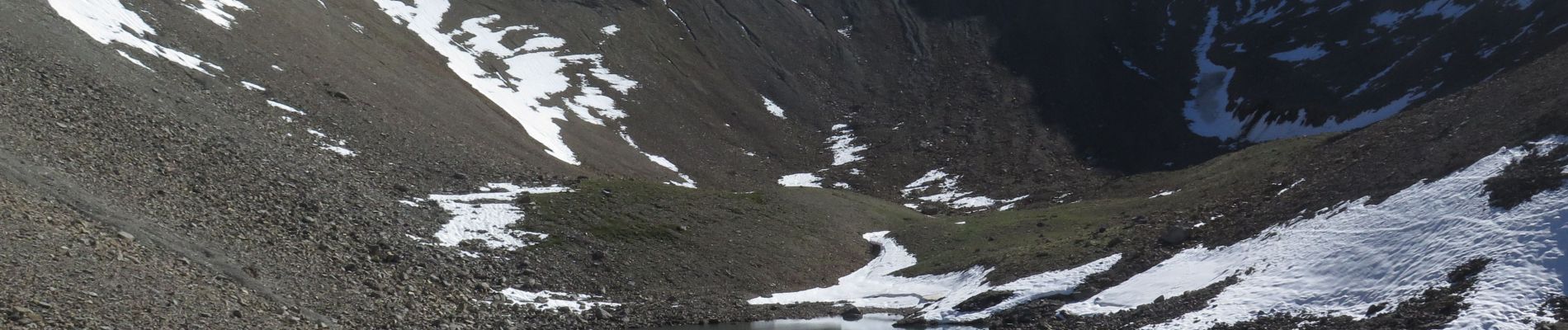
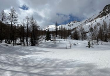
Neige jusqu'en juillet sur le versant nord de la grande Barre.


Walking

Walking
On foot
On foot
On foot

Walking
Snowshoes
Walking
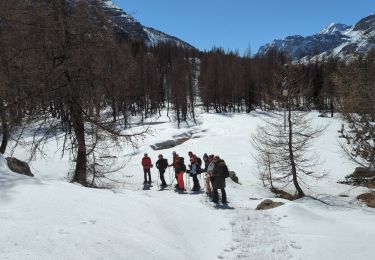
Snowshoes