


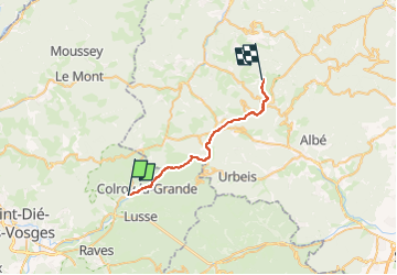

10.2 km | 16 km-effort

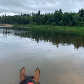
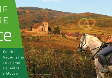
JOIE ET BONHEUR DE LA RANDONNEE A CHEVAL


FREE GPS app for hiking
 SityTrail
IGN / Geographical institutes
SityTrail World
The world is yours!
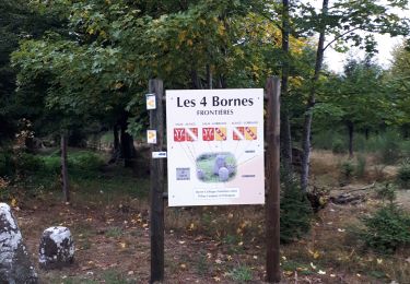
Trail Horseback riding of 22 km to be discovered at Grand Est, Vosges, Provenchères-et-Colroy. This trail is proposed by ASSOCIATION DES CAVALIERS DU PAYS LUNEVILLOIS.
Provenchères - Champ du Feu
Walking

Equestrian
Walking
On foot
Walking
Walking
Electric bike
Horseback riding
Equestrian