


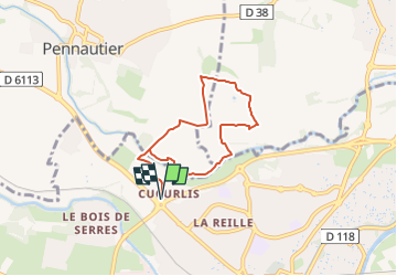


23 km | 29 km-effort


User


FREE GPS app for hiking
 SityTrail
IGN / Geographical institutes
SityTrail World
The world is yours!
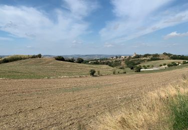
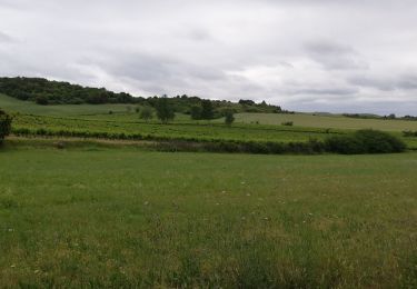
Trail Walking of 7 km to be discovered at Occitania, Aude, Carcassonne. This trail is proposed by Combaut11.
Départ zone commerciale de curculis , rond-point de la route de toulouse
Walking

Walking

Walking
Walking
Cycle
Other activity
Walking

Walking
Walking