


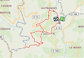

12.3 km | 18.2 km-effort


User GUIDE


FREE GPS app for hiking
 SityTrail
IGN / Geographical institutes
SityTrail World
The world is yours!
Trail Walking of 10.5 km to be discovered at New Aquitaine, Corrèze, Soursac. This trail is proposed by jagarnier.
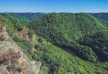
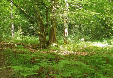
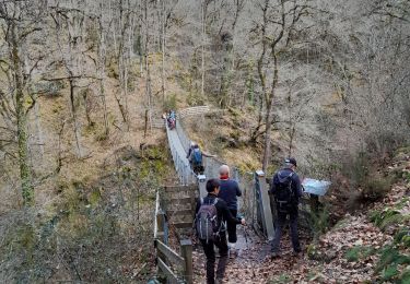
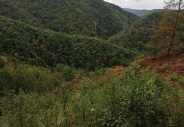
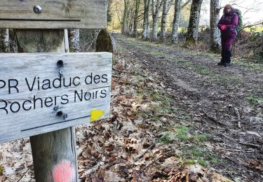
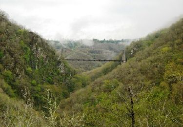
Vous partirez à la découverte du patrimoine naturel de Soursac en partant du lac du Pont-Aubert. Vous suivrez la voie du Tacot. Vous passerez par le Jardin de Firmin et sa cabane, qui offre une vue imprenable sur la Vallée de la Luzège. Ensuite, vous rejoindrez le viaduc des Rochers Noirs, construit entre 1911 et 1913 et aujourd’hui classé Monument Historique.

Walking

Walking
Walking
Walking

Walking
Walking
Walking

Walking
Walking