


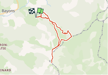


16.2 km | 26 km-effort


User


FREE GPS app for hiking
 SityTrail
IGN / Geographical institutes
SityTrail World
The world is yours!
Trail Walking of 16.4 km to be discovered at Provence-Alpes-Côte d'Azur, Alpes-de-Haute-Provence, Bayons. This trail is proposed by PapouBertrand.
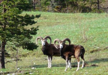
Très belle randonnée, contact avec un Bouquetin et une Marmotte, de très nombreuses fleurs


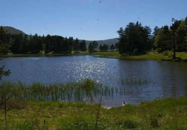
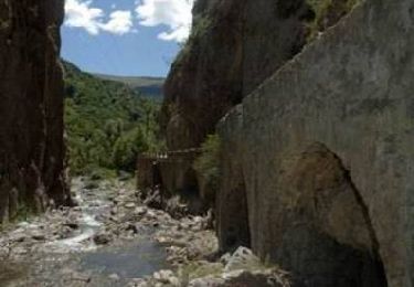
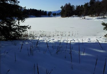
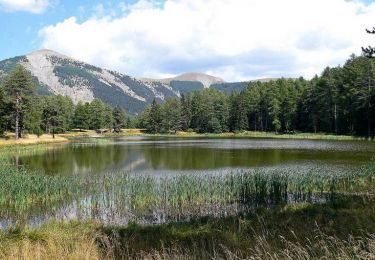
24 photos in total. Please click on a photo to see them all in the gallery.

Walking
Walking
Walking
Walking

Horseback riding

Walking

Walking
Walking
Walking