


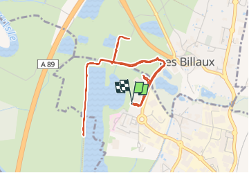
Libourne en Gironde

papajp
User

Length
7.5 km

Max alt
10 m

Uphill gradient
37 m
Km-Effort
8 km

Min alt
-1 m

Downhill gradient
37 m
Boucle
Yes
Creation date :
2024-05-24 13:28:55.0
Updated on :
2024-05-24 15:04:37.961

FREE GPS app for hiking
 SityTrail
IGN / Geographical institutes
SityTrail Plus
The world is yours!
About
Trail of 7.5 km to be discovered at New Aquitaine, Gironde, Libourne. This trail is proposed by papajp.
Description
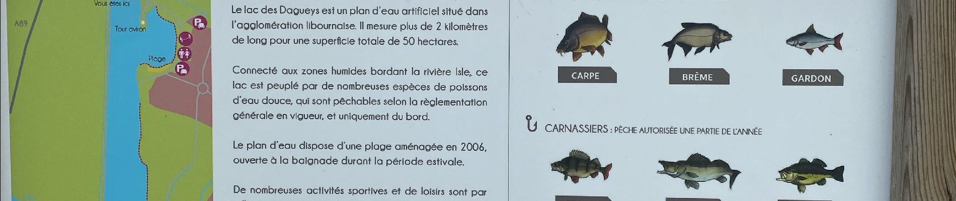
Un coin avec des étangs super
Photos


Positioning
Country:
France
Region :
New Aquitaine
Department/Province :
Gironde
Municipality :
Libourne
Location:
Unknown
Start:(Dec)
Start:(UTM)
717413 ; 4980867 (30T) N.
Comments