


balladecavec les copines

gerinmaryse
User

Length
8.6 km

Max alt
1278 m

Uphill gradient
235 m
Km-Effort
11.8 km

Min alt
1099 m

Downhill gradient
238 m
Boucle
Yes
Creation date :
2024-05-26 06:57:31.938
Updated on :
2024-05-26 13:06:03.509
3h33
Difficulty : Medium

FREE GPS app for hiking
 SityTrail
IGN / Geographical institutes
SityTrail Plus
The world is yours!
About
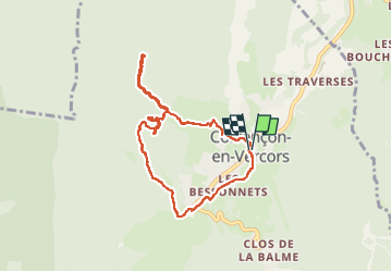
Trail Walking of 8.6 km to be discovered at Auvergne-Rhône-Alpes, Isère, Corrençon-en-Vercors. This trail is proposed by gerinmaryse.
Description
sympa, dénivelé leger
Photos


Positioning
Country:
France
Region :
Auvergne-Rhône-Alpes
Department/Province :
Isère
Municipality :
Corrençon-en-Vercors
Location:
Unknown
Start:(Dec)
Start:(UTM)
699099 ; 4989545 (31T) N.
Comments