


Gr78 fait

LouisROGER
User GUIDE

Length
15.9 km

Max alt
571 m

Uphill gradient
491 m
Km-Effort
22 km

Min alt
319 m

Downhill gradient
274 m
Boucle
No
Creation date :
2024-06-12 06:49:51.201
Updated on :
2024-06-12 19:57:29.09
4h55
Difficulty : Very difficult

FREE GPS app for hiking
 SityTrail
IGN / Geographical institutes
SityTrail Plus
The world is yours!
About
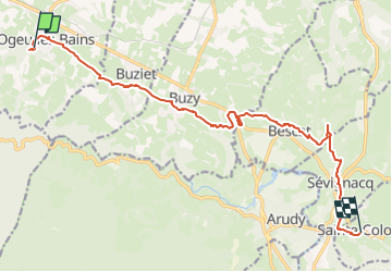
Trail Walking of 15.9 km to be discovered at New Aquitaine, Pyrénées-Atlantiques, Ogeu-les-Bains. This trail is proposed by LouisROGER.
Description
Balisage sur le GR78 entre Ogeu et Sainte Colome
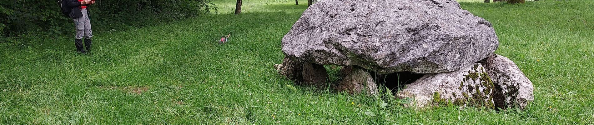
Photos


Positioning
Country:
France
Region :
New Aquitaine
Department/Province :
Pyrénées-Atlantiques
Municipality :
Ogeu-les-Bains
Location:
Unknown
Start:(Dec)
Start:(UTM)
702688 ; 4779915 (30T) N.
Comments